
On the third floor of Wyatt Hall, if you stand right next to the windows, and if it is a clear day, you can see, straight ahead, Mt. Rainier. Mt. Rainier is, of course, the largest mountain in the lower 48 and one of the most topographically huge mountains in the entire word—it dominates the skyline.
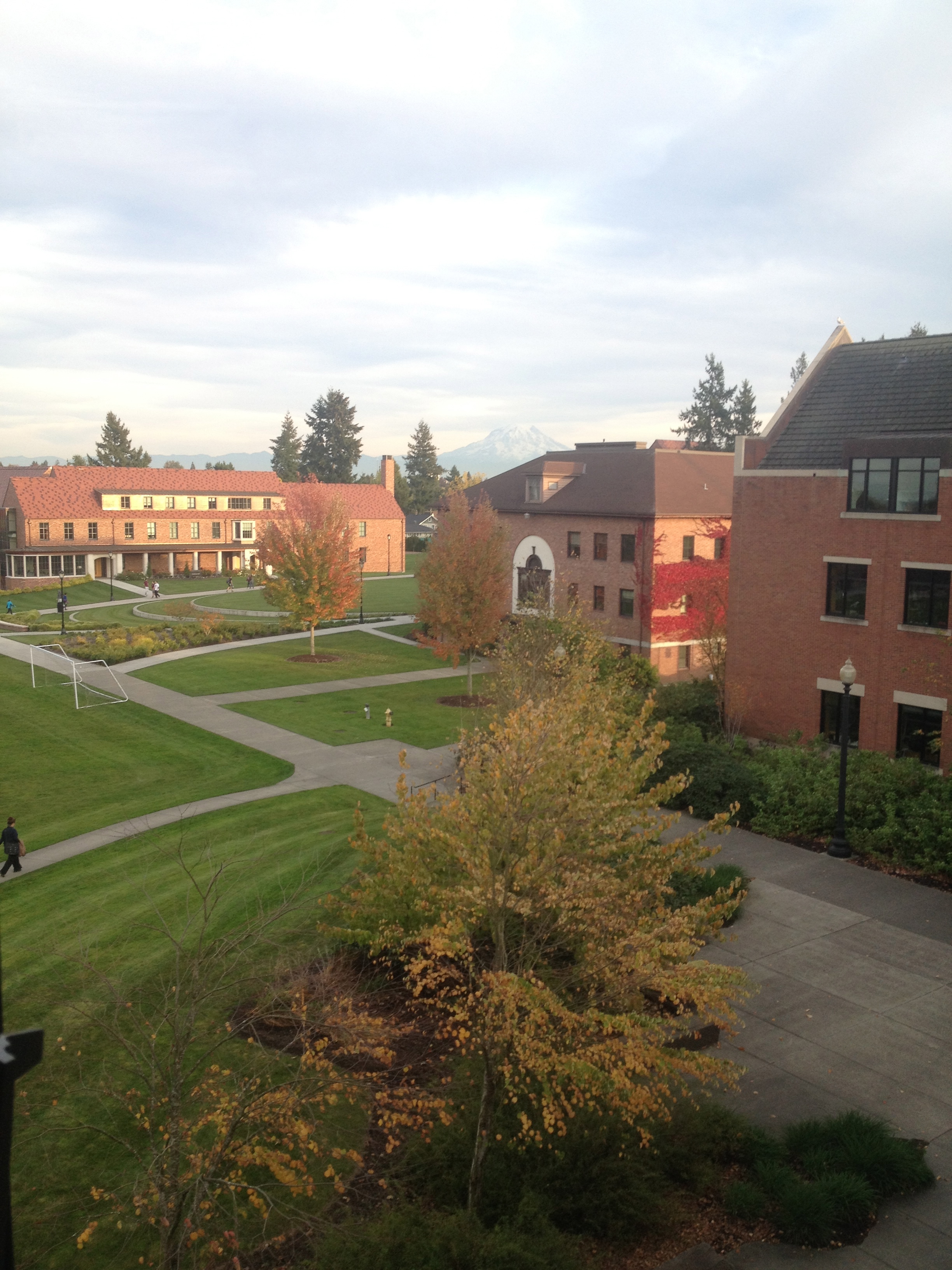
This is from Wyatt 304, at maybe 5:45pm.
You can merely admire the view; I myself did that for a very long time. But you can also make the drive out and actually see (or, at least, theoretically see—this is highly weather dependant) the mountain up close and in person.
The day we decided to go for a hike on Mt. Rainier was, quite frankly, the wettest day of the school year thus far. I woke up in the morning to the sound of rain pounding on my window and on the pathways outside my room—and, like a proper Northwestern citizen, I said, “This isn’t that bad,” and then packed an extra raincoat and a towel.
We had chosen to hike up to Crystal Lake; to get there, you drive four miles past the Mt. Rainier National Park sign, and then slam on the breaks because there isn’t really a proper trailhead or anything else that would suggest that your destination is upon you.
The trail itself starts just off the road, and then winds up the mountainside. You hike through forests upon forests; forests that bear the marks of fires, with pines only at the top of the trees and the trunks themselves sooty and bleak; forests with trees covered in moss and ferns, green on green on green. And eventually, you cross the timberline, where the trees downsize and the wind constantly roars.
We continued hiking up, towards the lake. We just crested the hill and there it was.
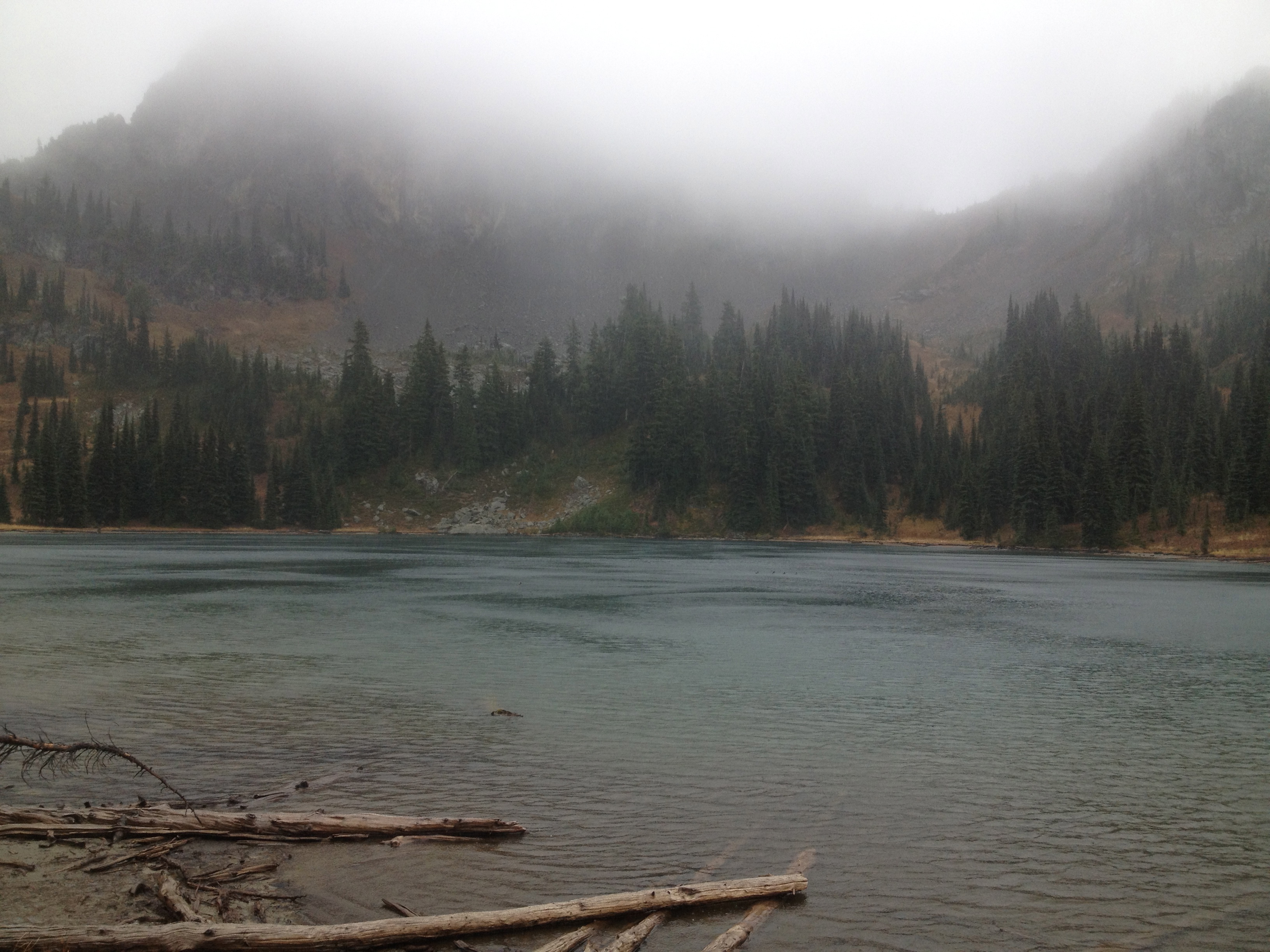
Pictured: the wind chill. Not pictured: me drowning in the wind and rain.
On any other day, I would have sat down on a convenient rock, maybe found an appropriate place to wade into the water, felt the lake (ice melt, from one of the 28 glaciers on Mt. Rainier) with my bare toes, probably had a snack. I would have definitely hiked the circumference of the lake, admiring its pale blue color and the icy mountain views from all angles.
On this day, however, we crested the hill and the first thing we registered was not the lake, but the wind and the rain. The forests below had protected us from the weather; here, the rain crashed into us with the force of a power hose. It was almost all I could do to stand up straight, and then break for cover to take some photos.
We headed back down the mountain instead, rain dripping from our hair and hoods (as proper Northwestern people, we had worn our rain coats; we just hadn’t actually put the hoods up). Every step was damp and, for lack of a better word, squelchy.
I have some advice for aspiring hikers, if they’re interested:
- Just go hiking. Who cares about the weather?
- The only excuse you are allowed to have is mountains (hahah…) of homework.
- Pack extra socks and extra shirts and maybe a change of shoes and a towel. Leave all of this in the car, to stay nice and dry.
- Bring food. Snacks, sandwiches, whatever.
- Bring about twice as much water as you think you will need.
- Also, bring a swiss army knife. At some point, you will need it. This is basically guaranteed.
Mt. Rainier is an active volcano, and on the Decade Volcano List, which I believe means it would suck for everyone if it erupted (as far as I can tell, it does not mean that the mountain will erupt within the decade). Point being, you should go up to the mountain, and experience before it turns into an ash pile.
It’s well worth it.
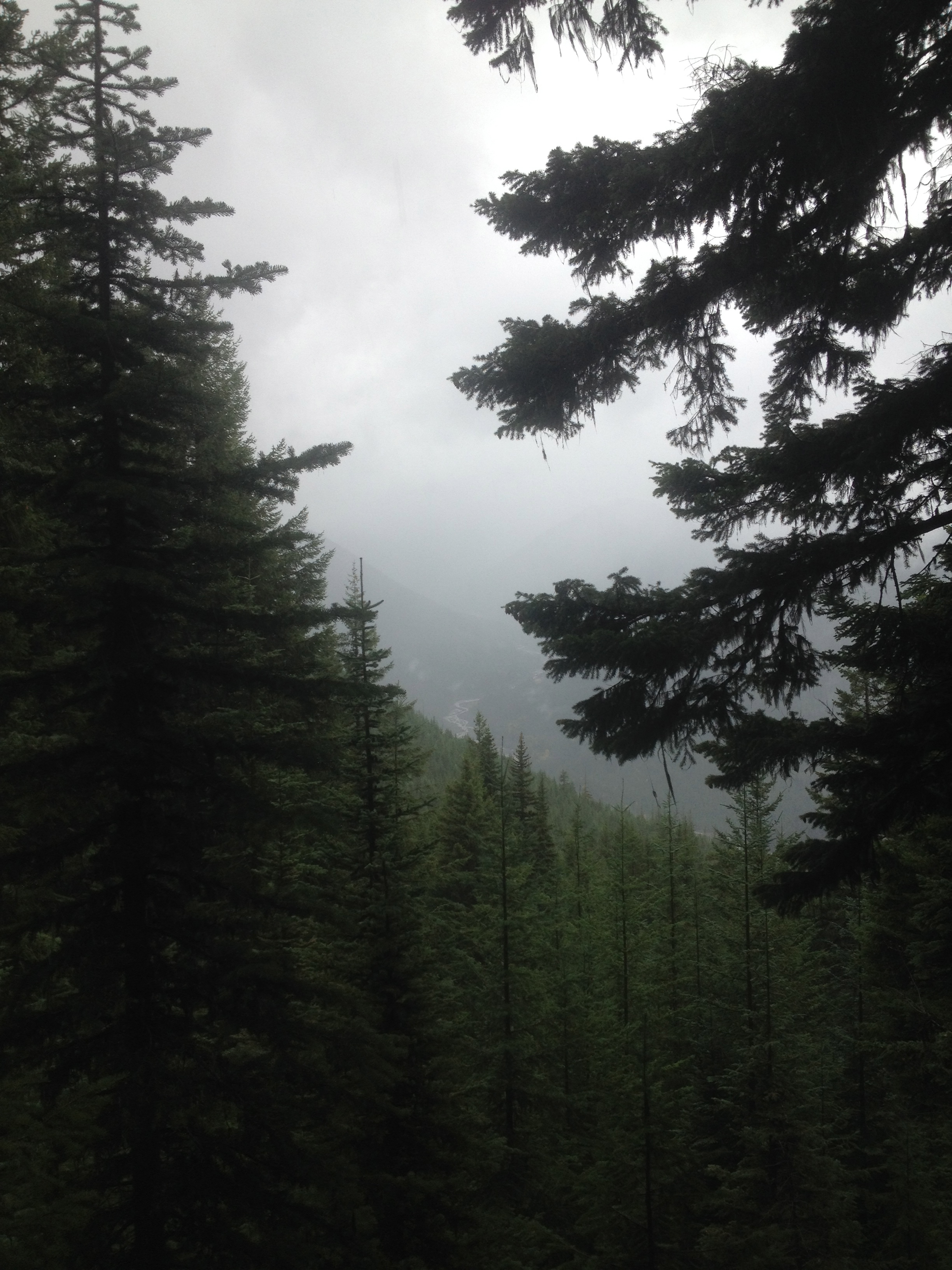
The very pale squiggle down the hill is a stream/river that runs along side the road.