About Colton Born

Allo! My name is Colton Born, I'm a Freshman here at the University, and I hail from the fertile, forested, and frozen lands of Central Minnesota. I really dig nature and am a passionate outdoorsman. Whenever I'm free, you'll find me pounding a trail, cruising with my bike, slaying the pow, appreciating a tree, floating a creek... yeah, I like being outside. My content here is focused on capturing the outdoor culture at UPS as well as documenting all of the exciting ways students can get off campus and into something challenging, beautiful, and epic in the outdoors. If you have any recommendations for potential trips, or just wanna talk, feel free to email me: cborn@pugetsound.edu! Happy trails!

Mount Douglas, British Columbia

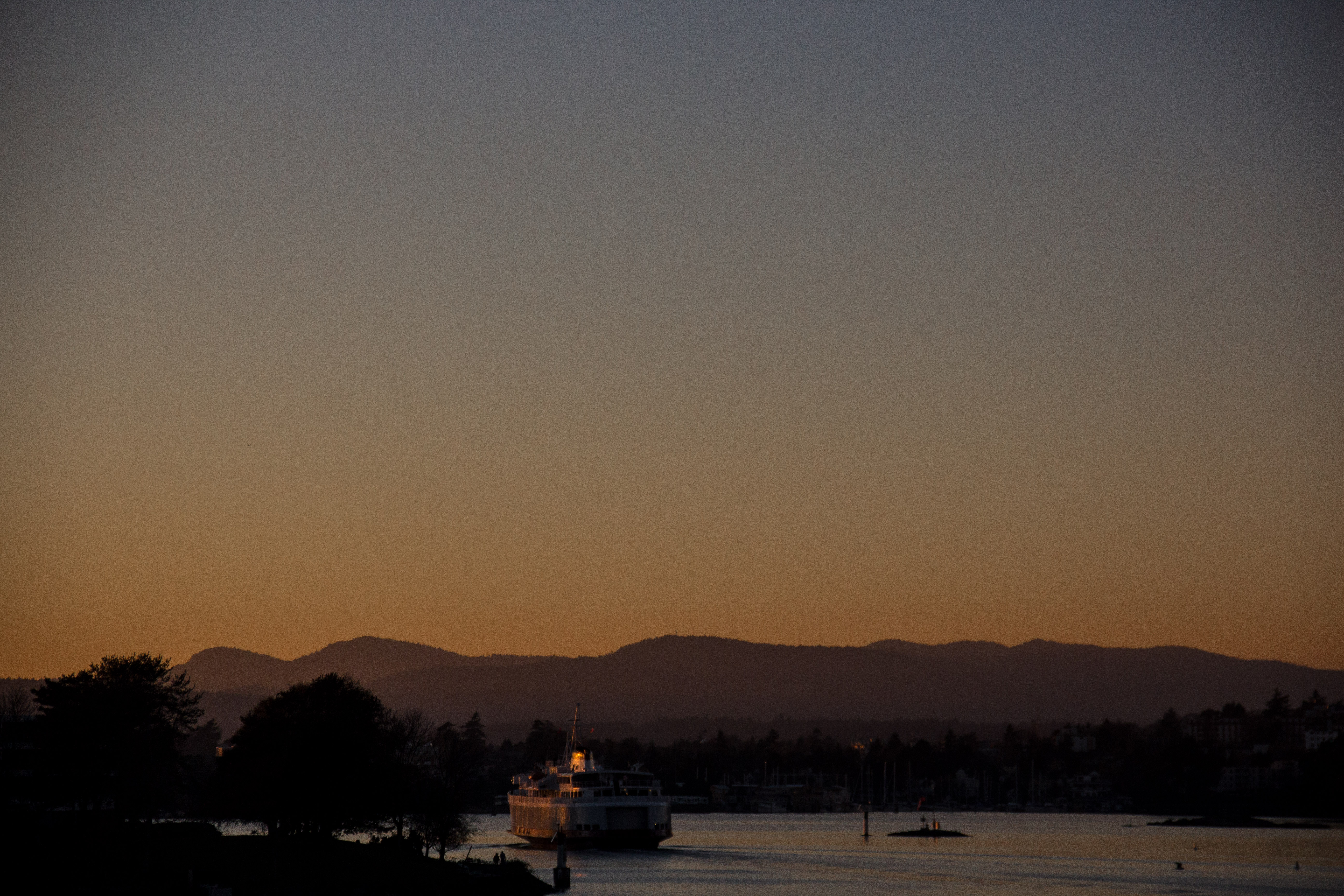
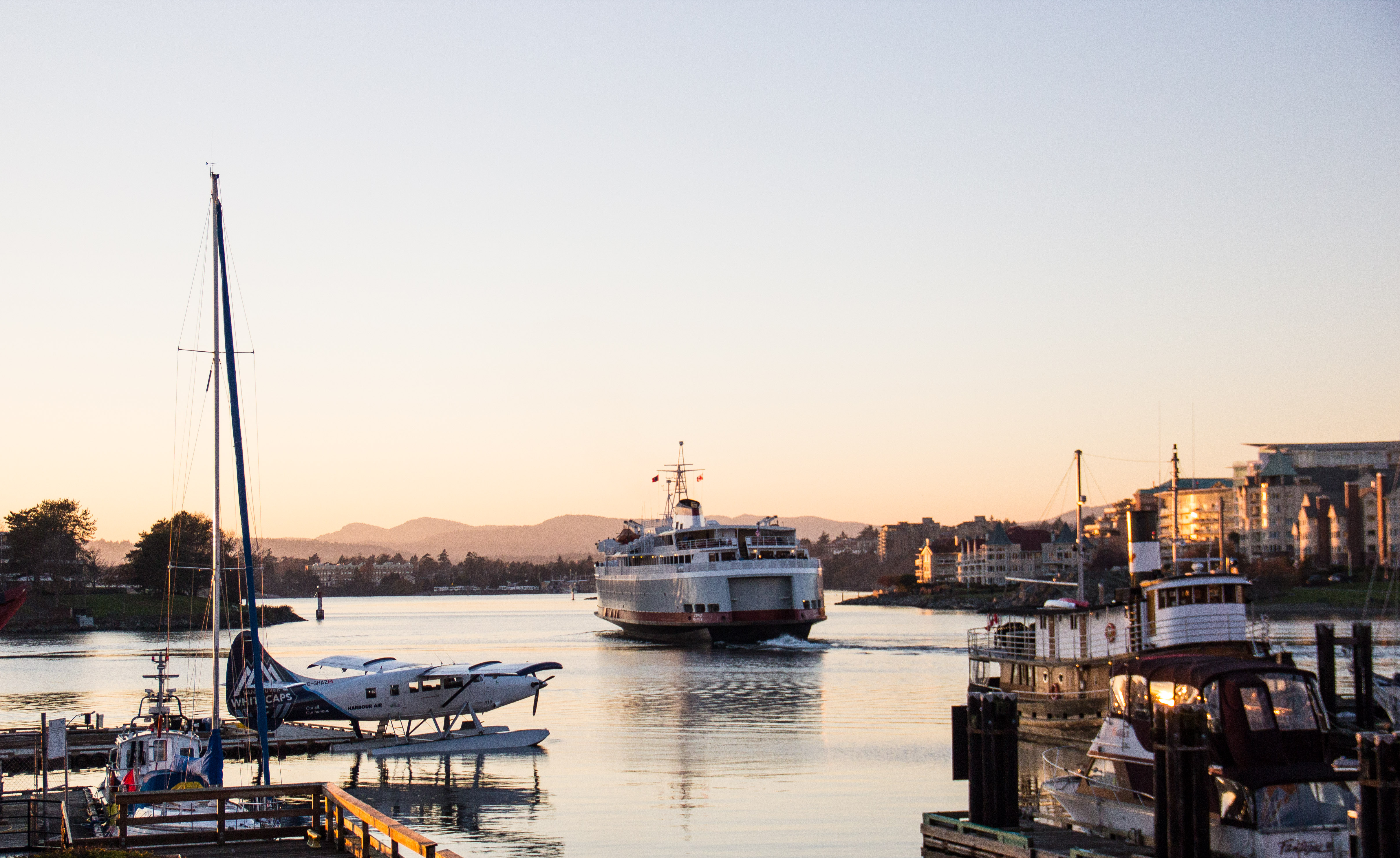
Over Thanksgiving Break, I spent two days and one night in Victoria, British Columbia roaming the streets with a loaded pack and a camera; the embodiment of the American tourist (minus the visor and fanny pack). I had a great time, and talked a lot about my time there in my last post. However, in that post I did not discuss the time I spent in the out-of-doors, just outside of Victoria proper, in a space that the locals (most notably: the Irish man behind the counter at the hostel) call ‘Mount Doug’.

canada-1-14

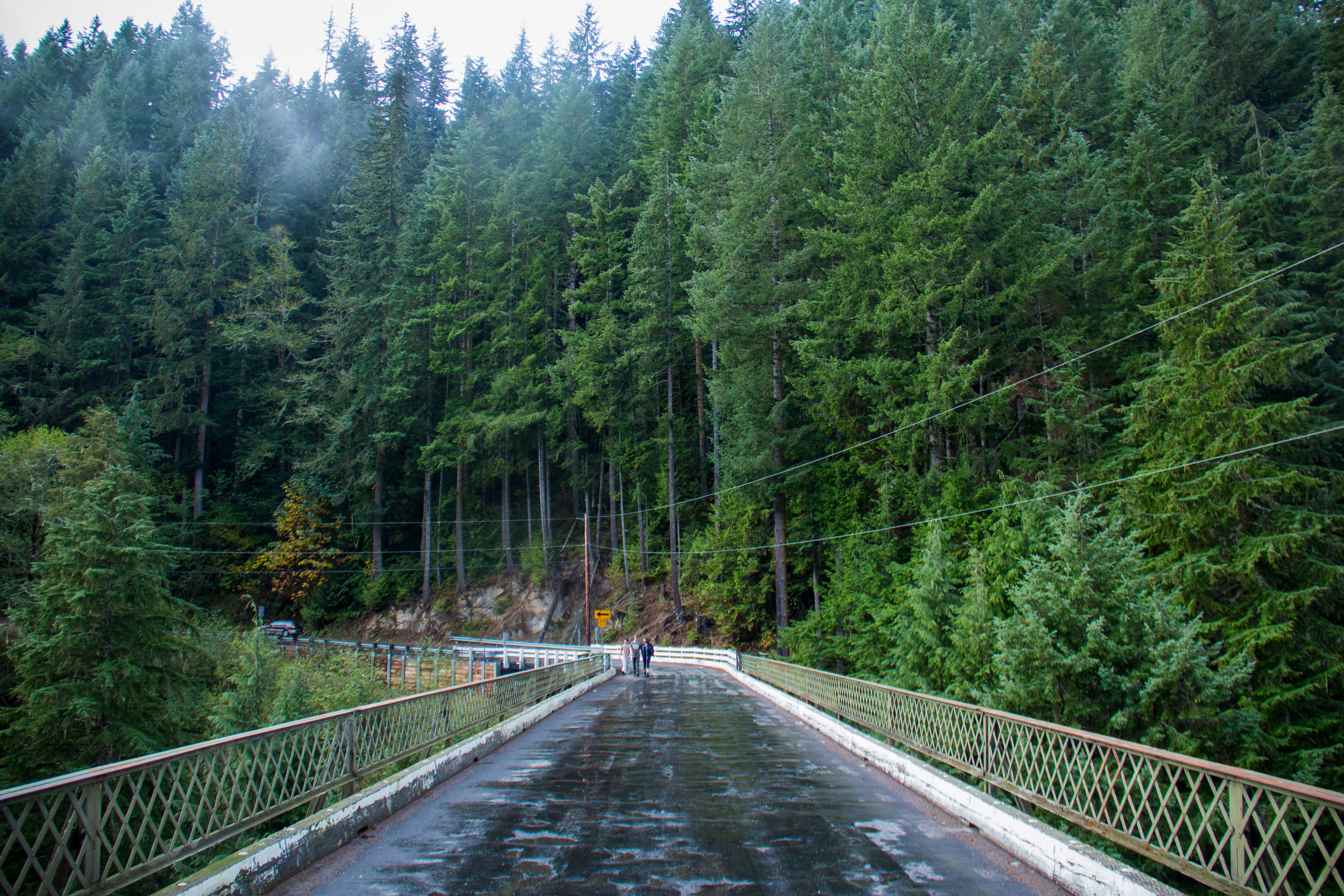
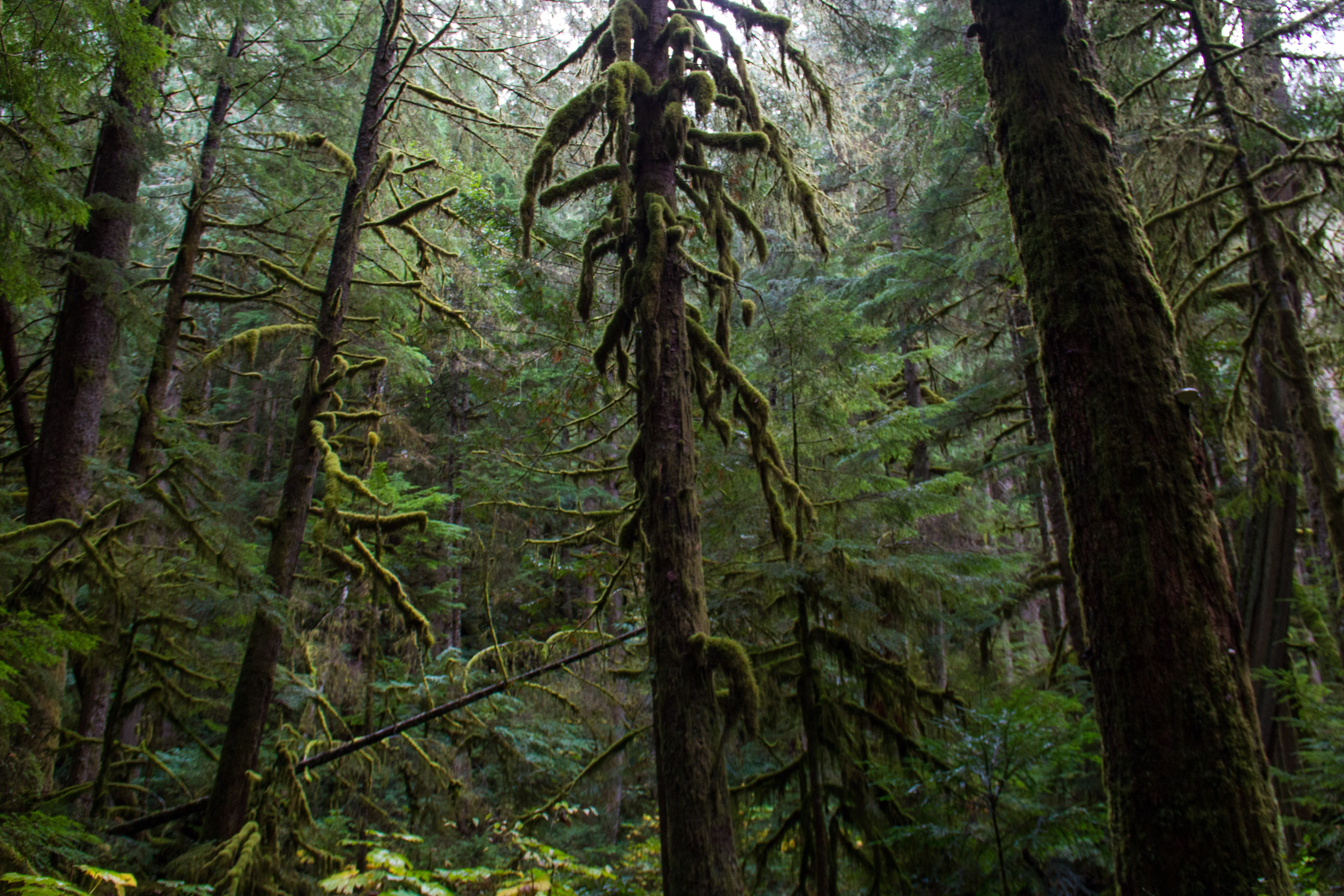
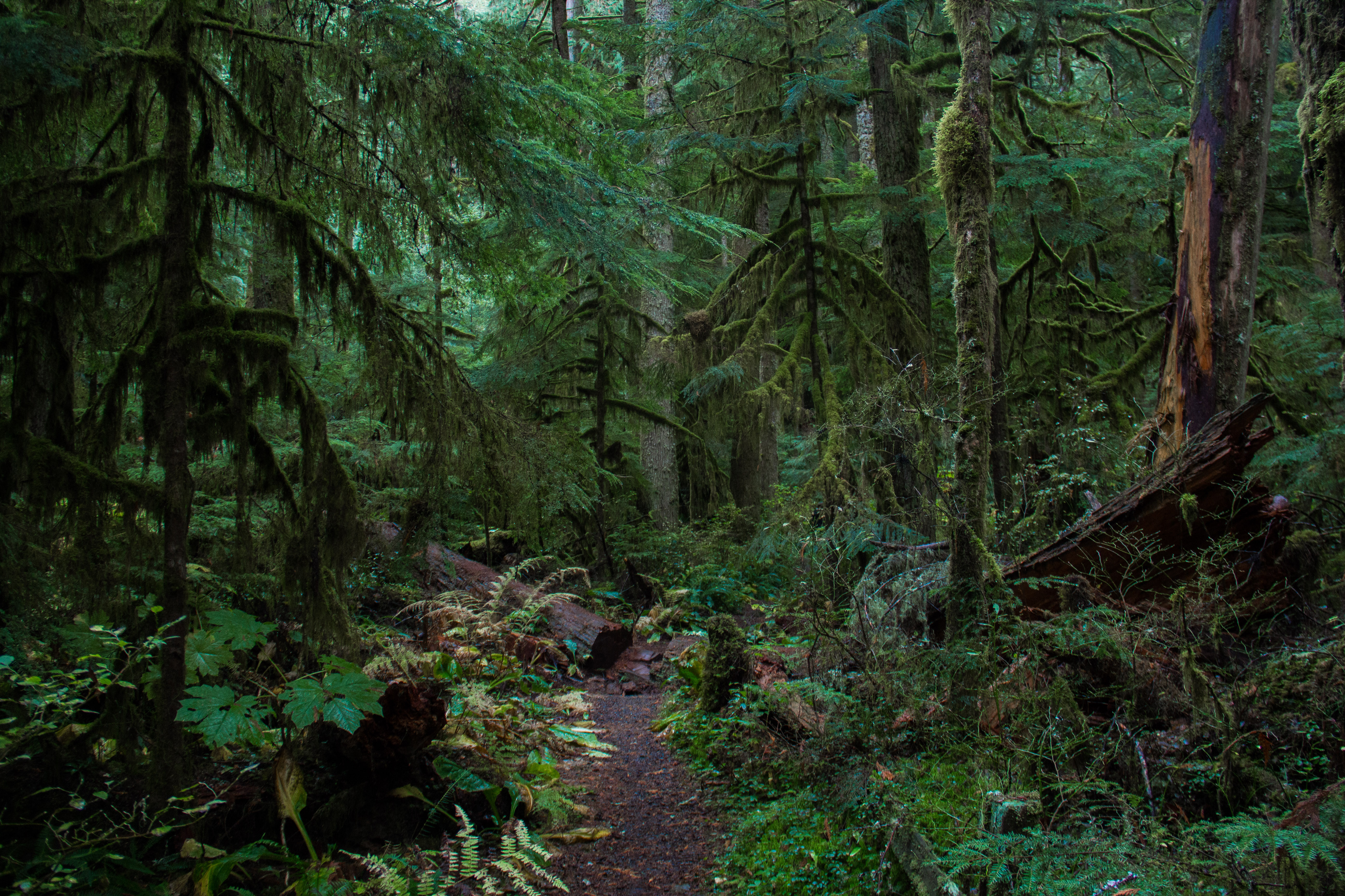
The alternative route up Mount Doug

On my second day in Canada, I knew I needed to do something, ANYTHING, in the outdoors. I loved the city itself, but I could see the mountains in the distance, the Strait, the trees… I had to get out.

So I did.

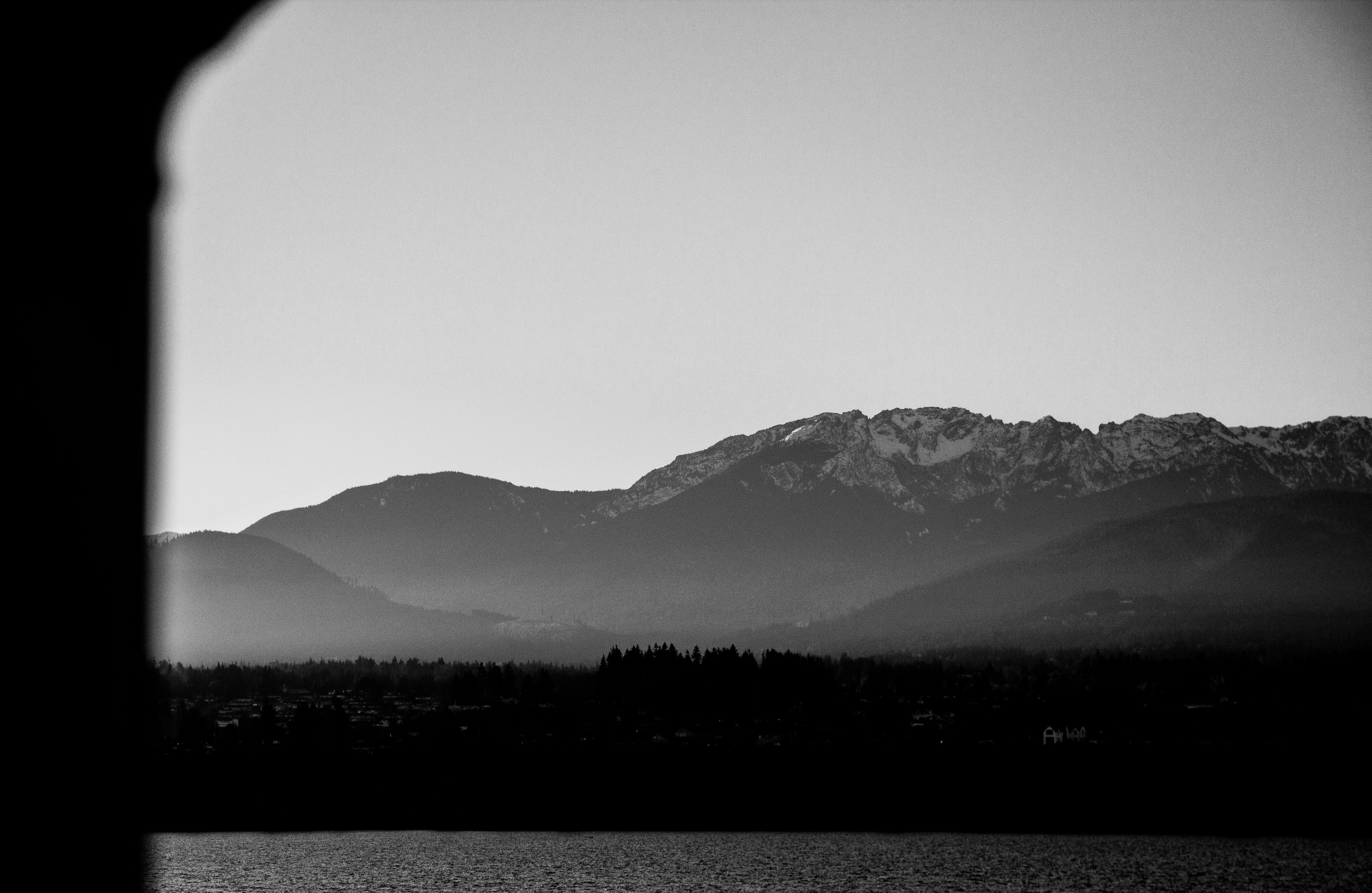
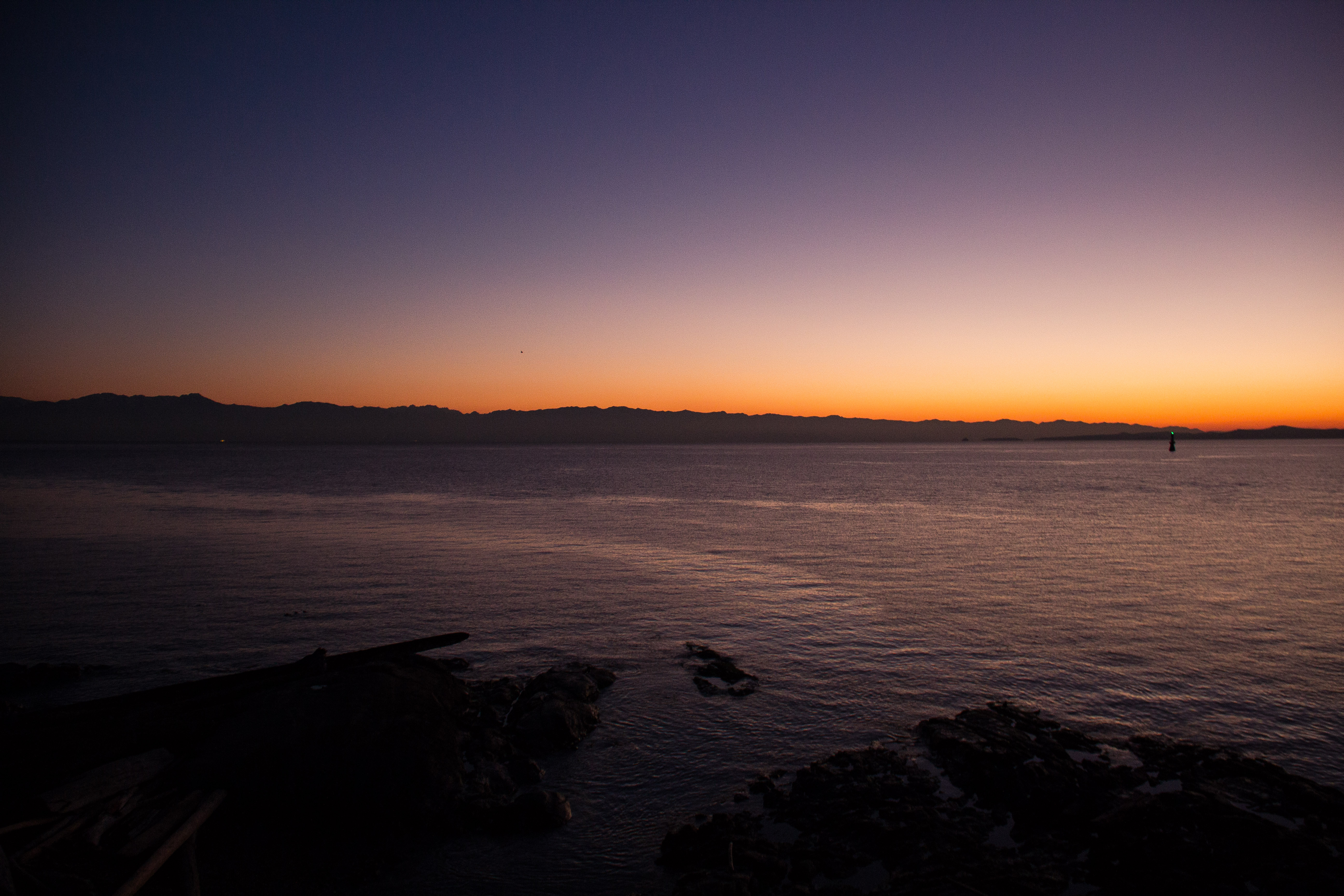
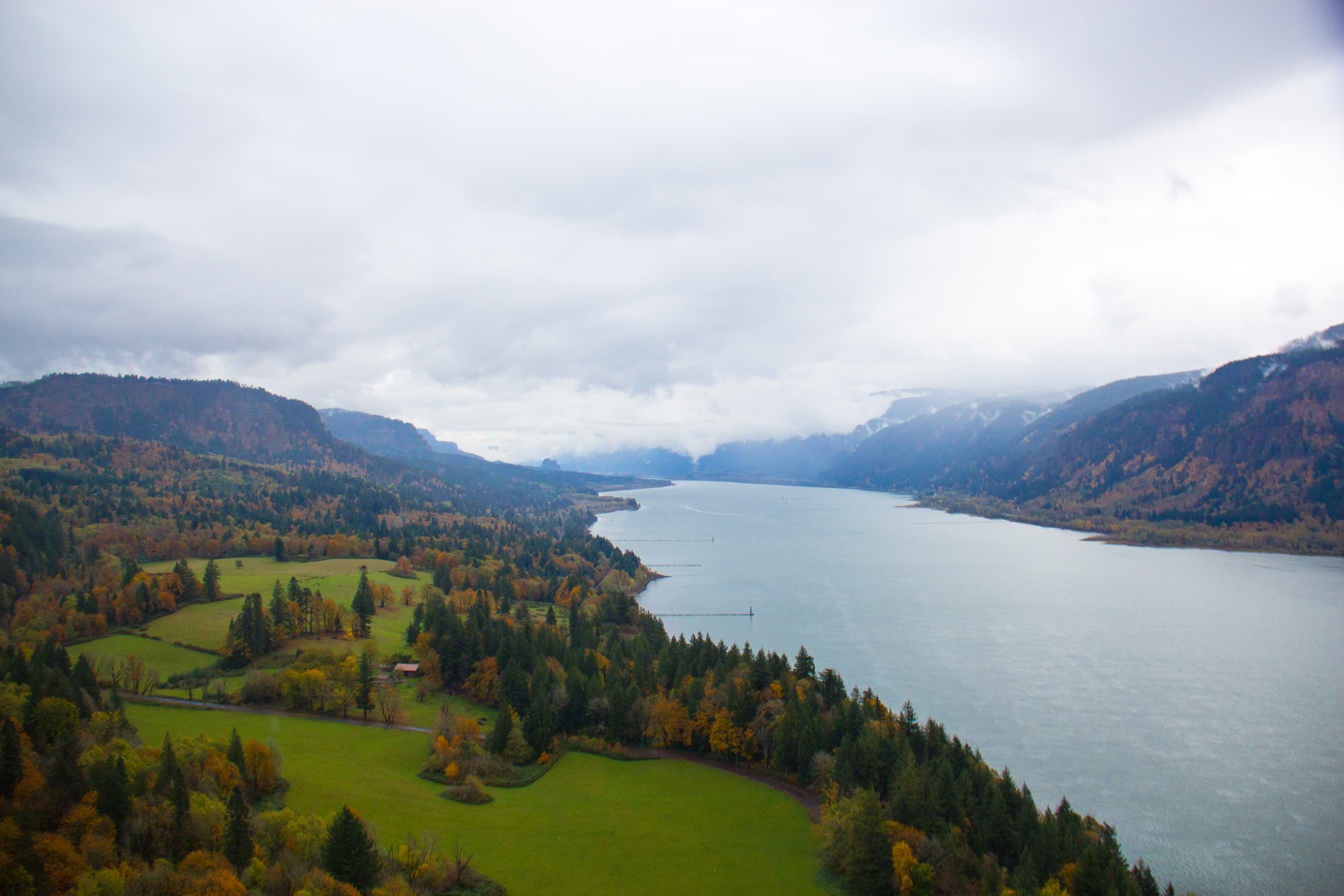
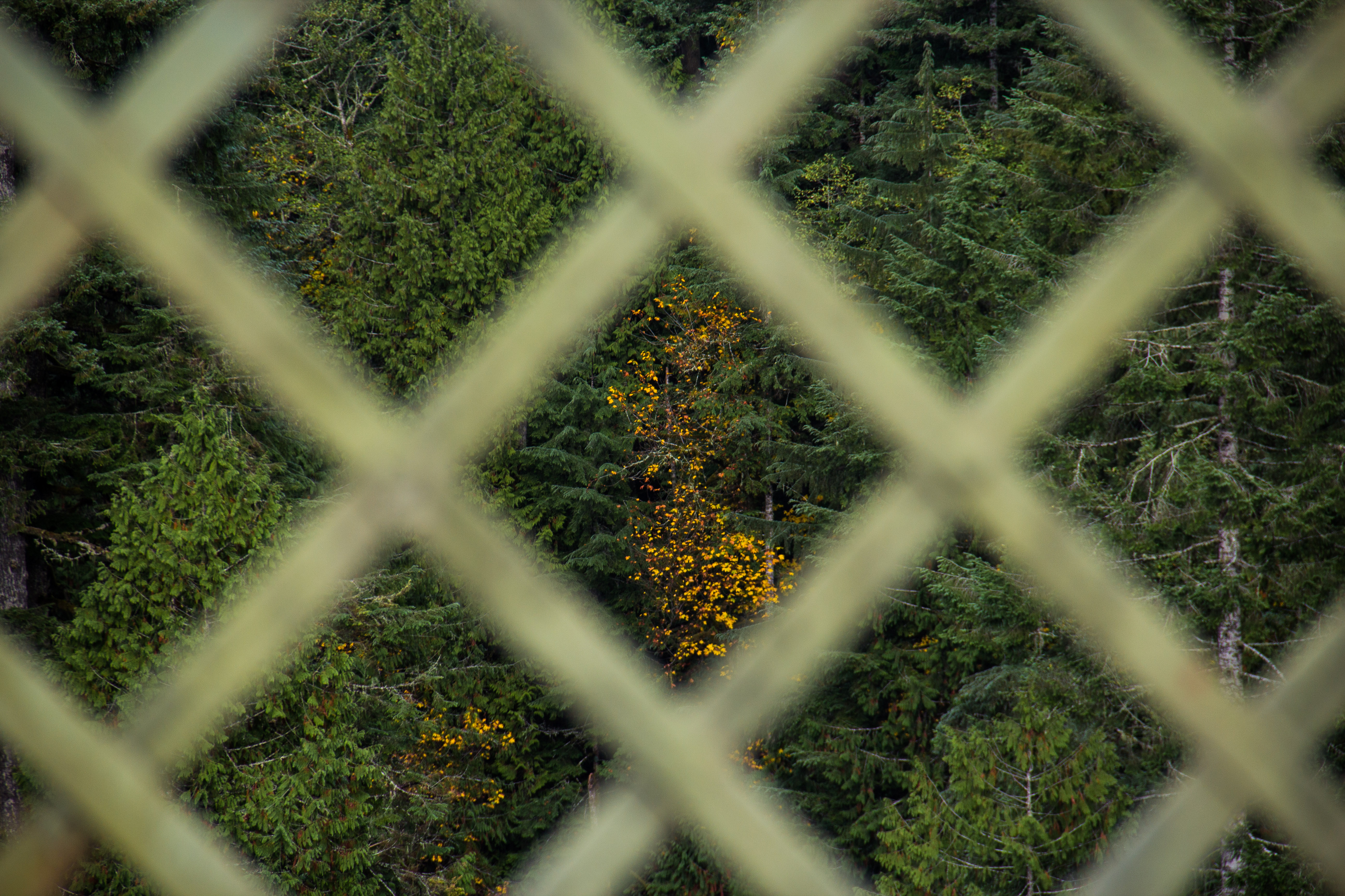
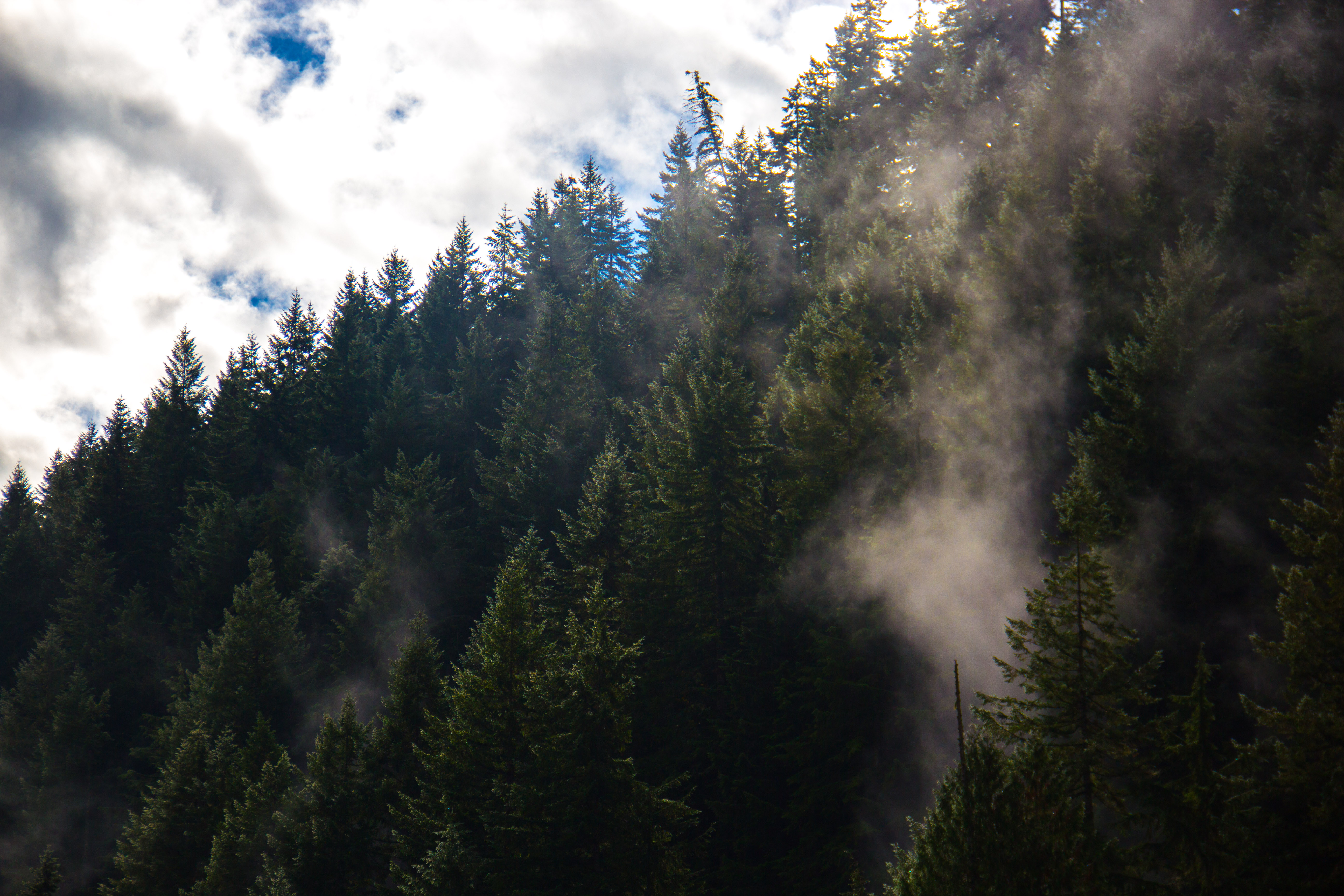
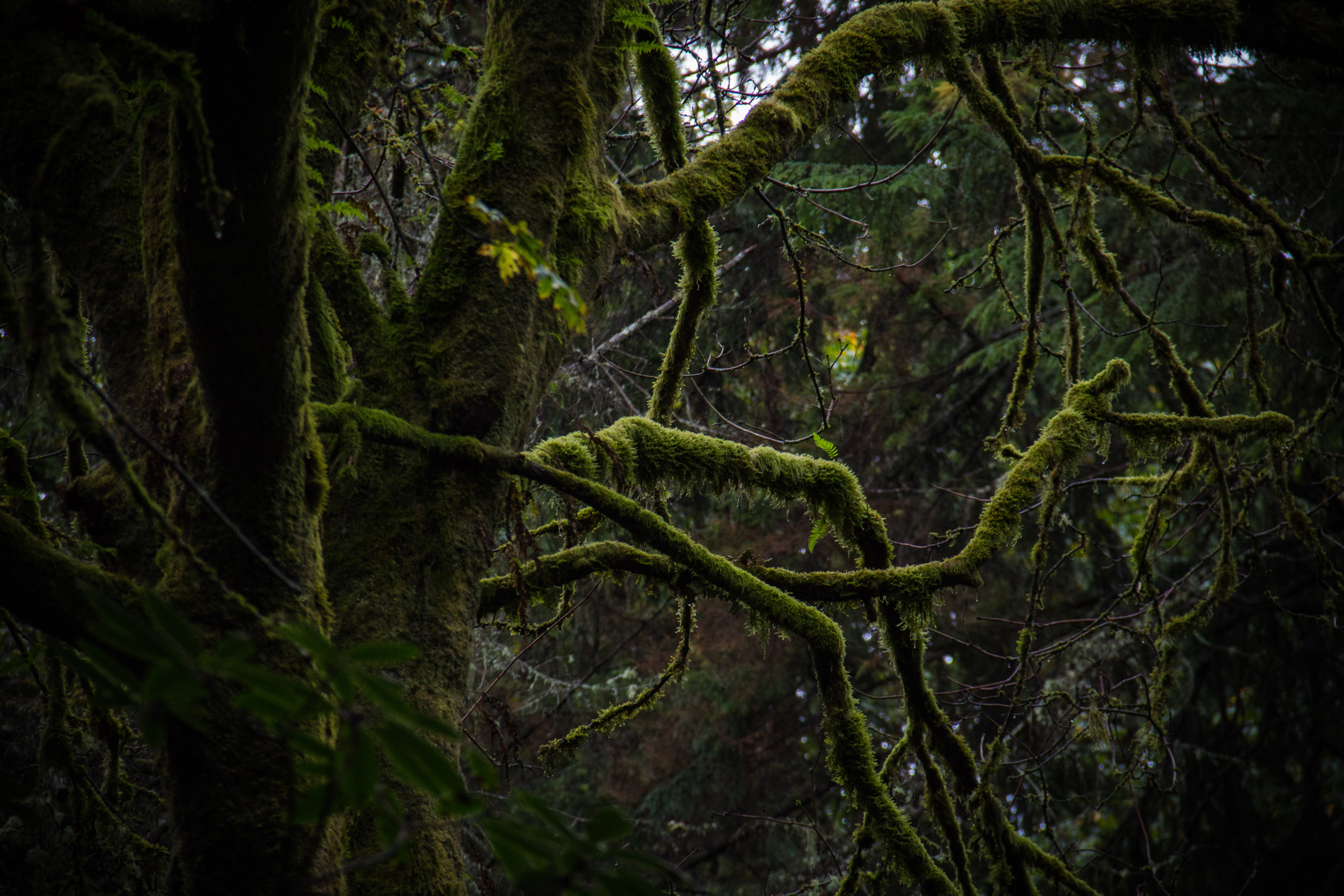
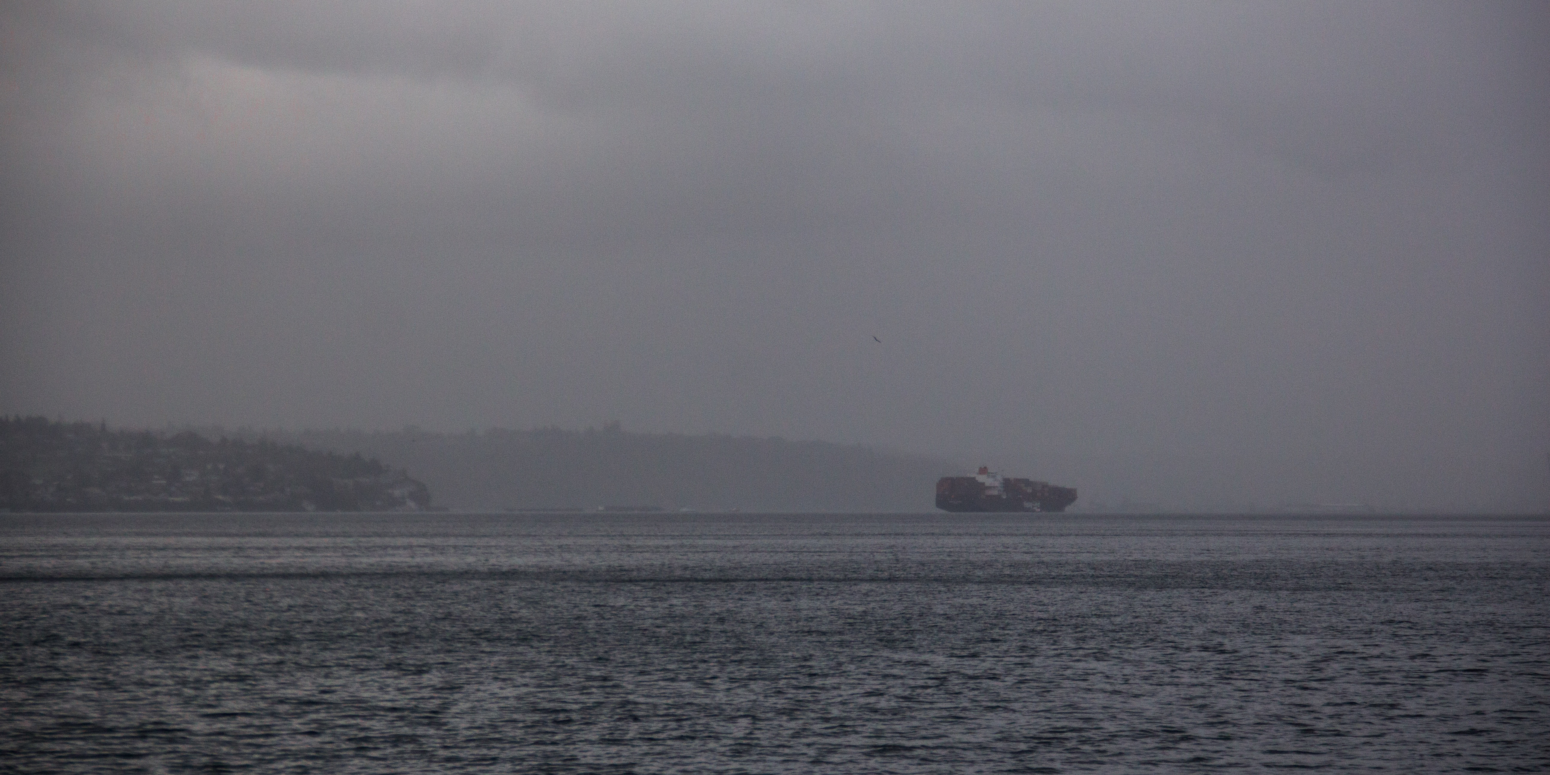
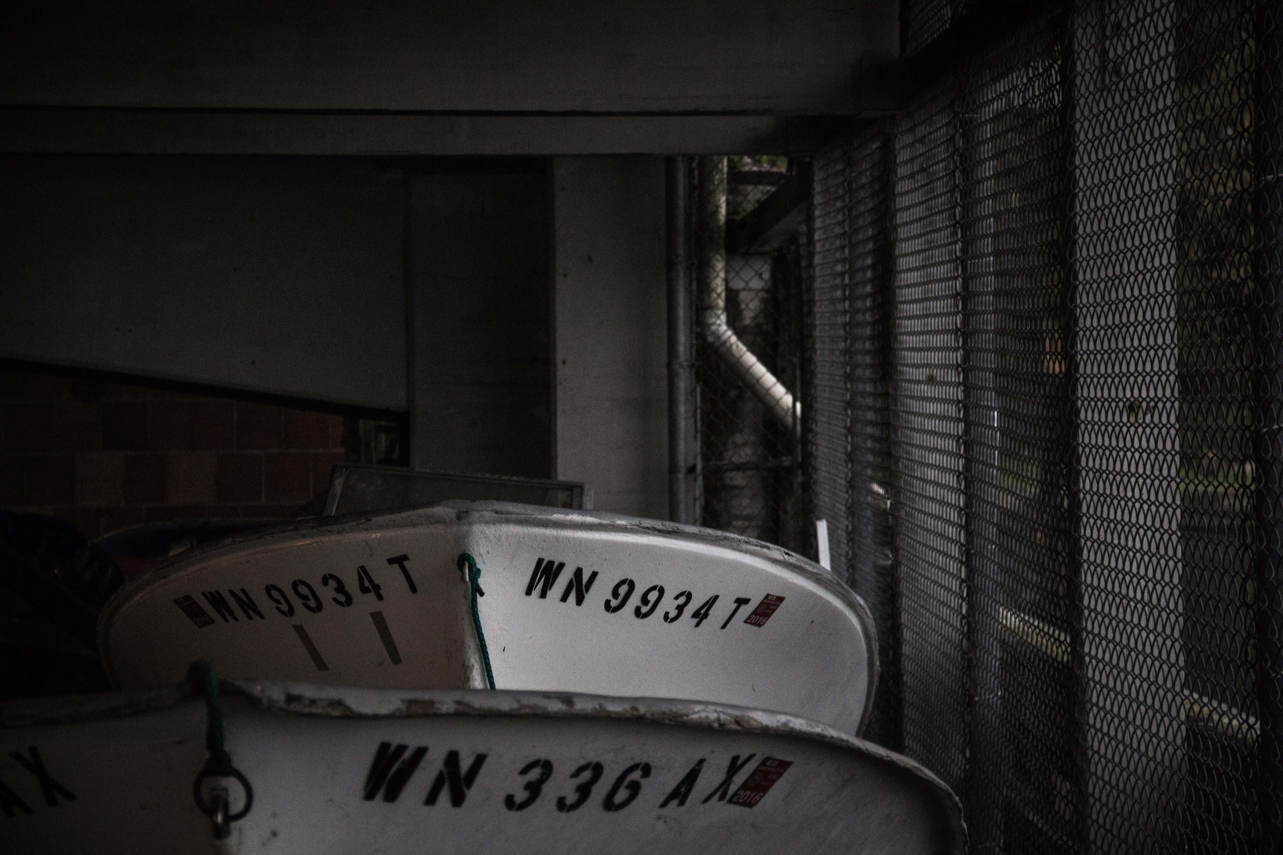
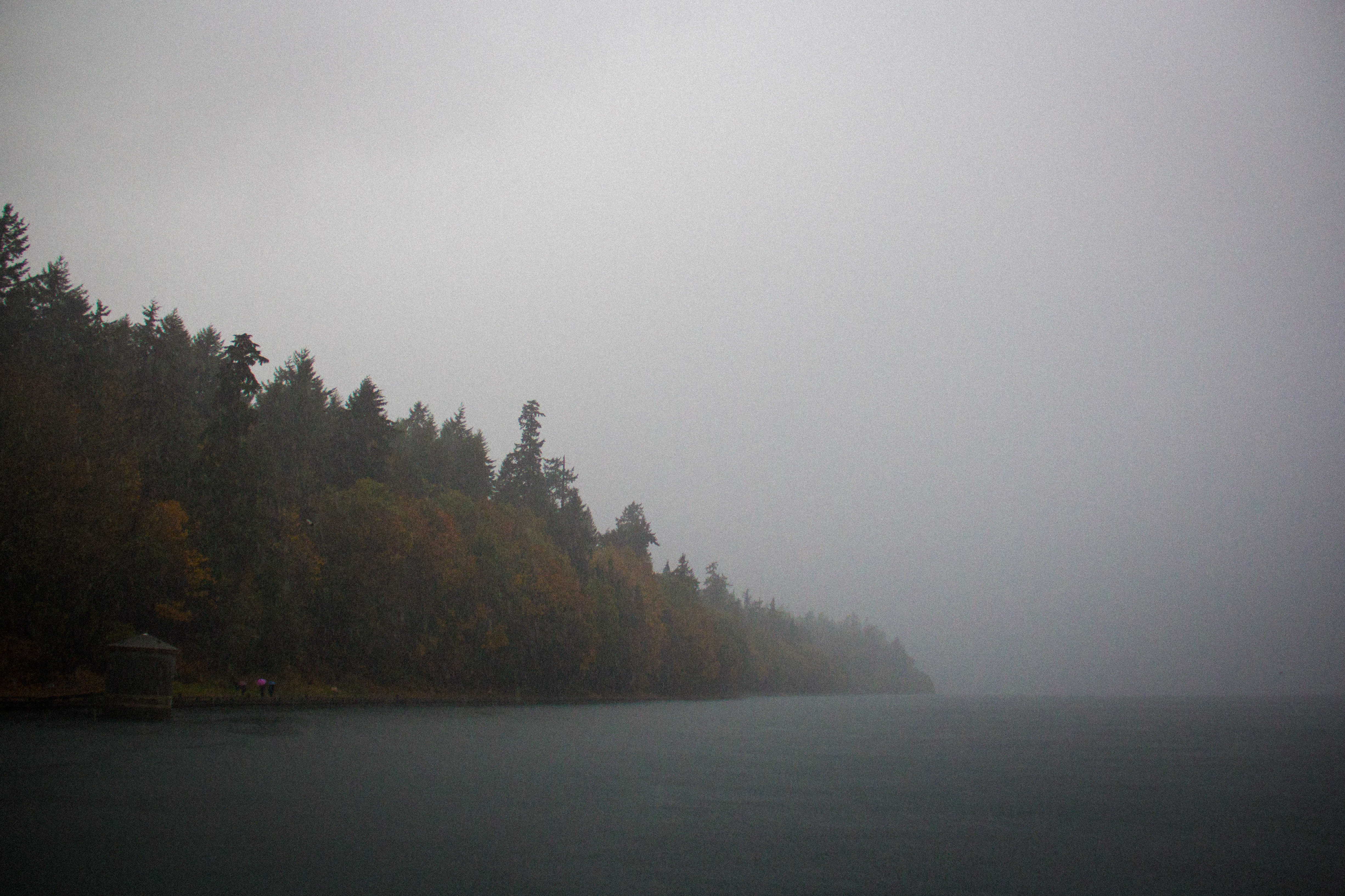
I took a couple city buses out to Mount Douglas Park in the hopes that I could breathe some fresh air and climb a few hundred feet before I had to get back for my ferry. From the parking lot, I started off on a steeper, more direct path up the mountainside (which was more like a hillside considering Mount Doug is under 1,000 feet in elevation). I was up in no time, and was greeted by sweeping views of residential areas, the Strait, some islands out to the east, and a rather abrasive wind coming up the south side of the peak.

canada-1-15

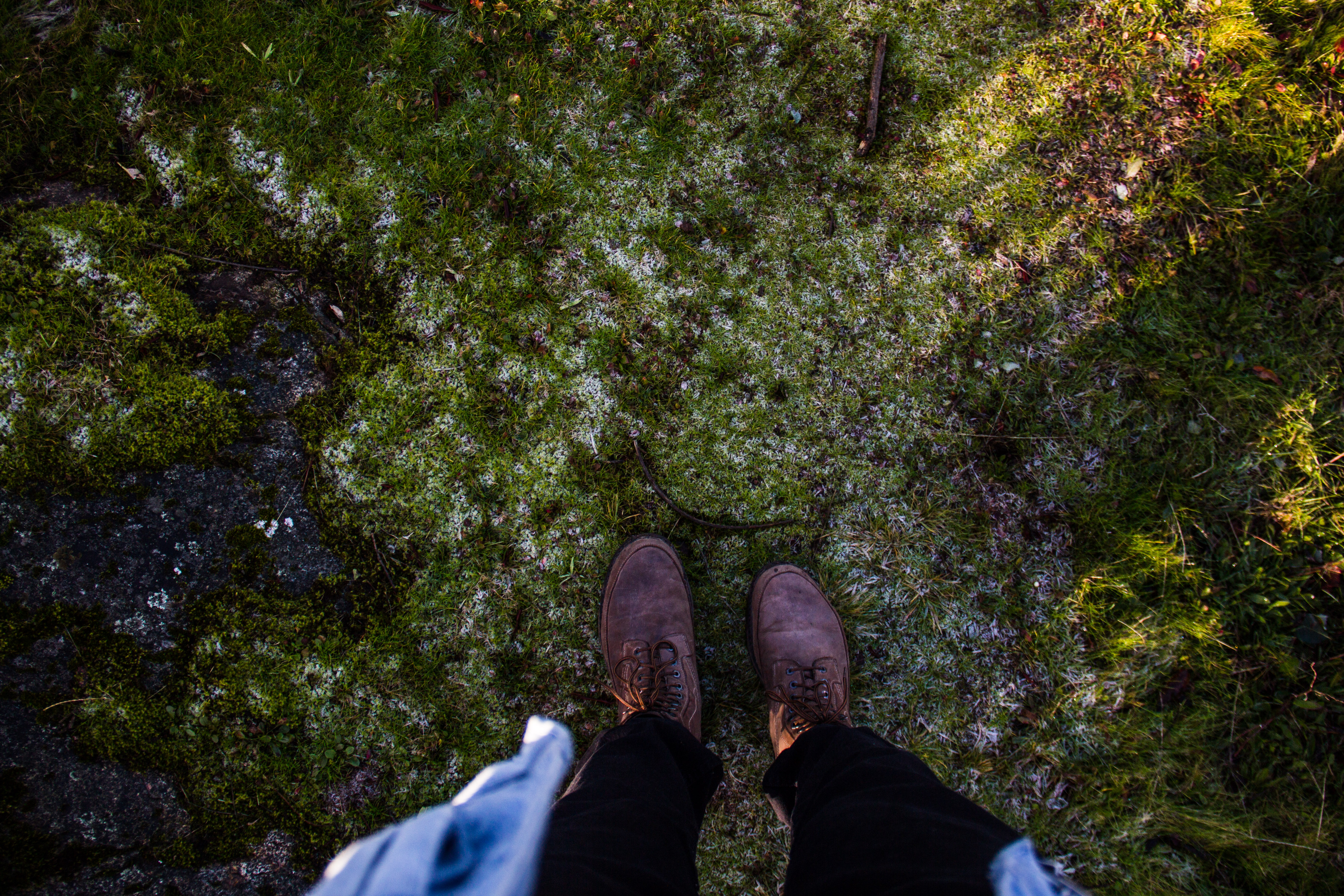
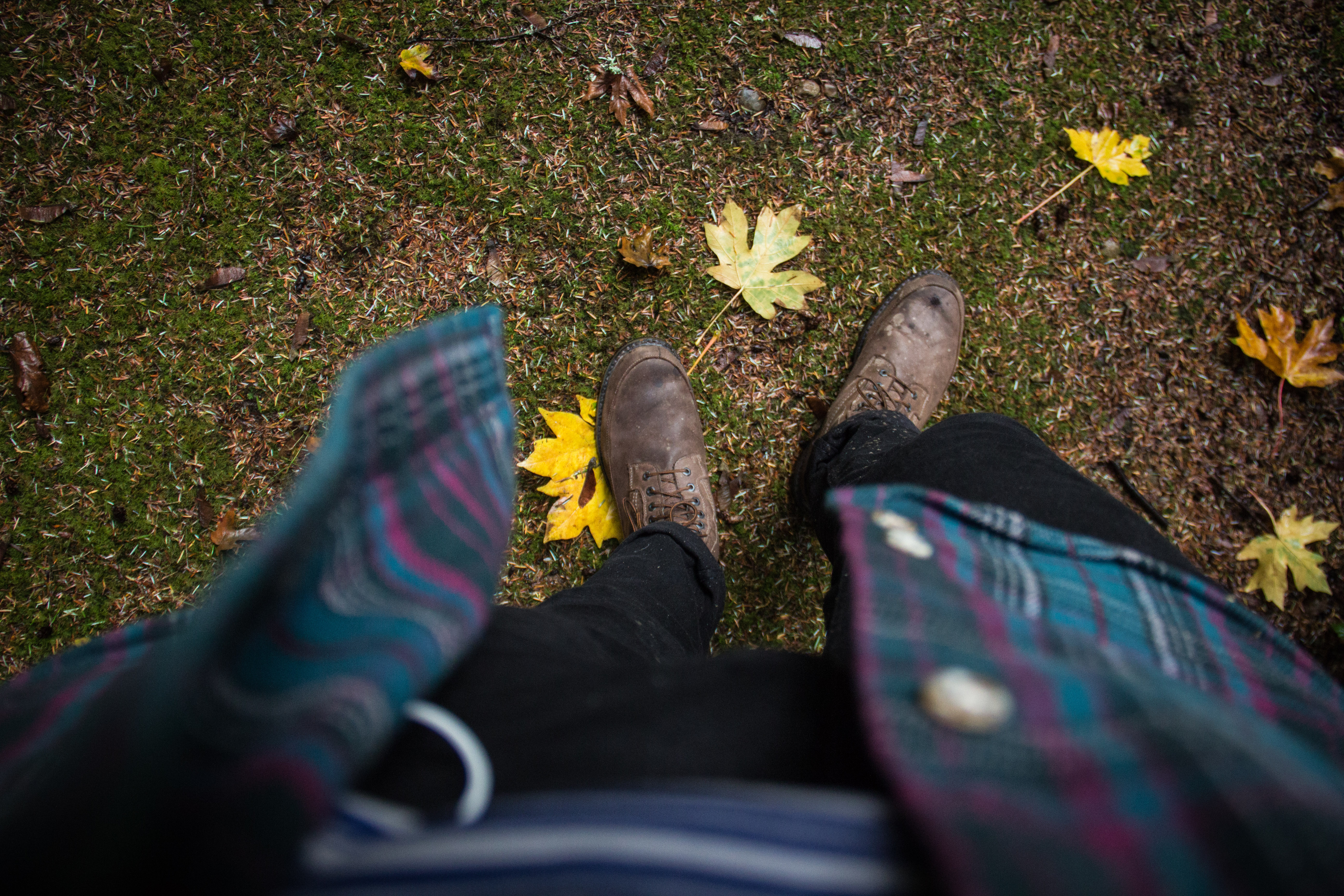
In case you wondered what my feet look like

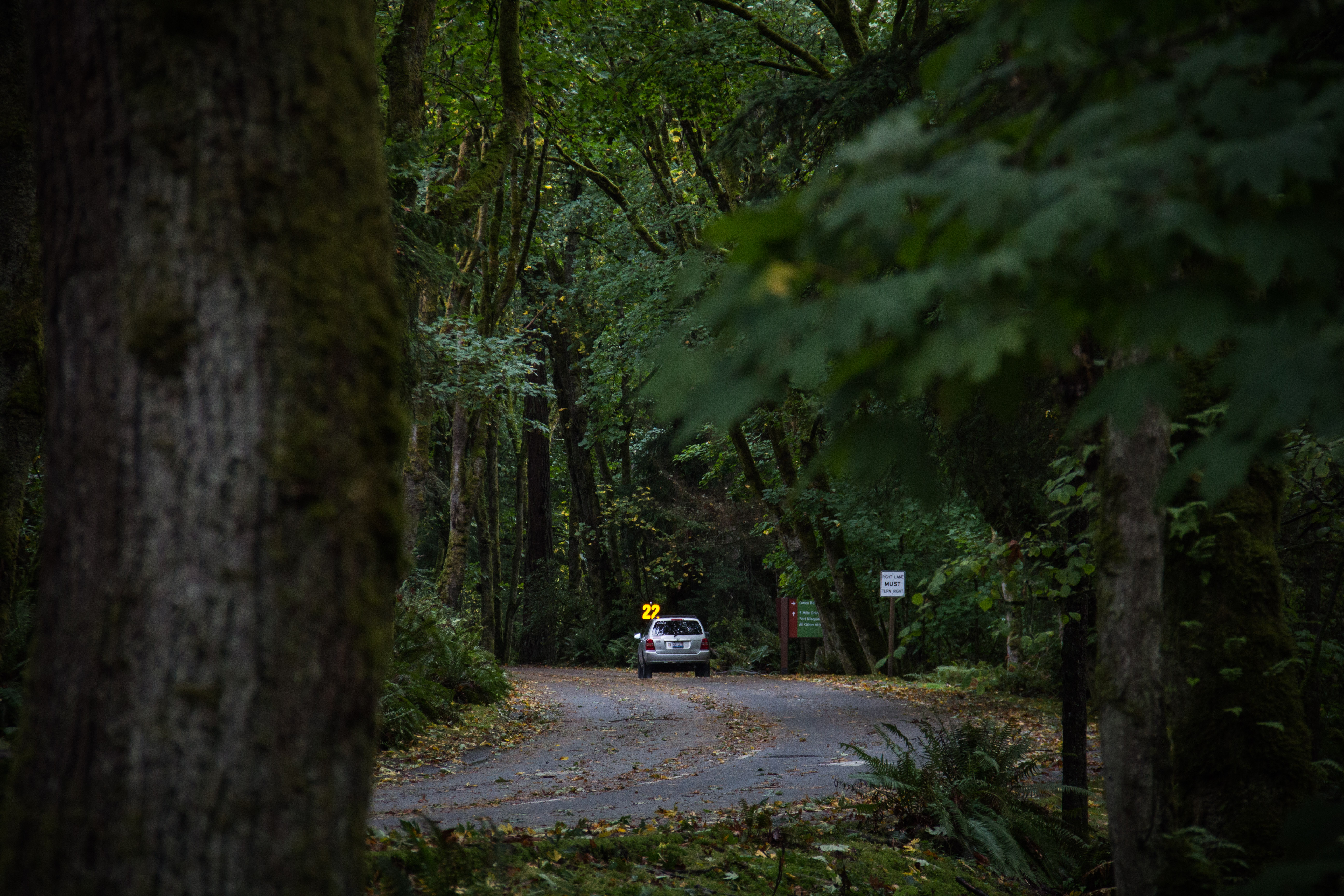
I spent around half an hour on the peak snapping pictures and taking in the view. It’s clearly a very popular spot considering that I saw something like 30 people there from the time I got up top to the time I left. It makes sense seeing as how the park is so close to downtown, and the hike up is incredibly simple. There’s even a road that travels up Mount Doug from the parking lot to the peak so cars can make the journey.

I eventually descended down to my bus stop via the road and made my way back to downtown from there. Overall, Mount Doug was a great way for me to get away from all the people in downtown Victoria for a few hours, and to get a few cool pictures. After checking it out, I can see why it’s a favorite of the locals. I would relate Mount Doug to Point Defiance Park in Tacoma based on its size, distance from downtown, and what it offers to visitors.

canada-1-16

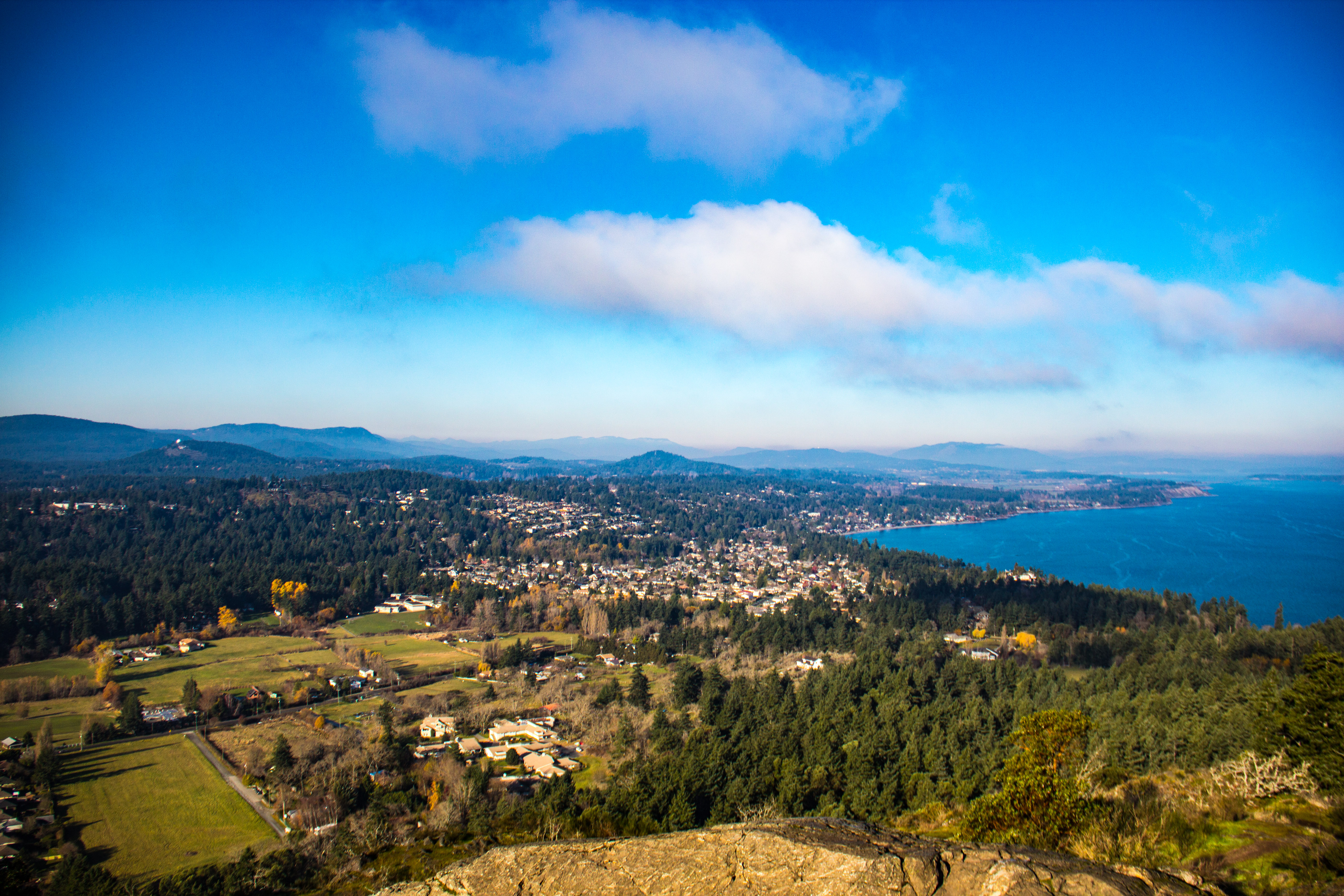
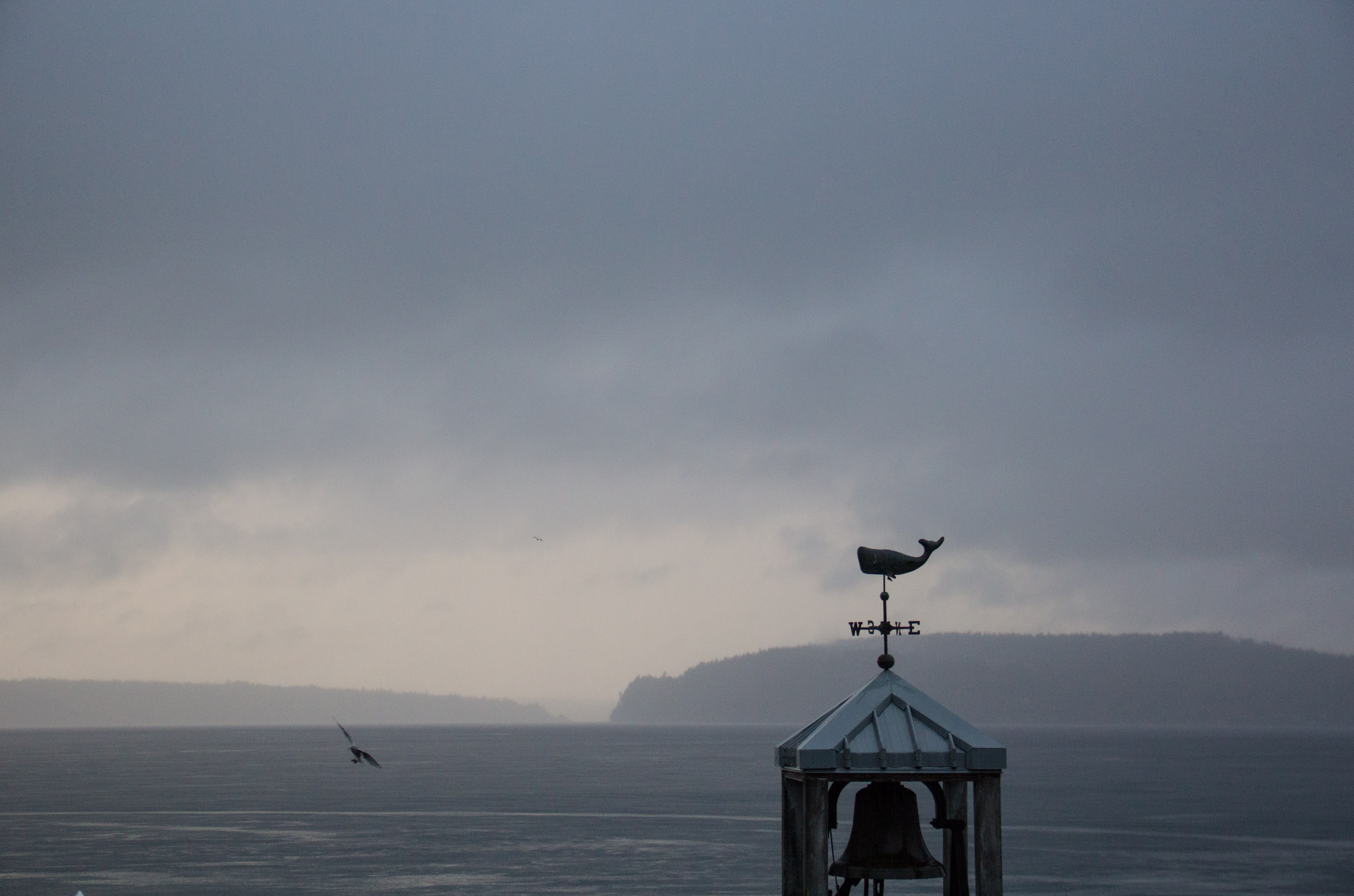
The western view from the peak

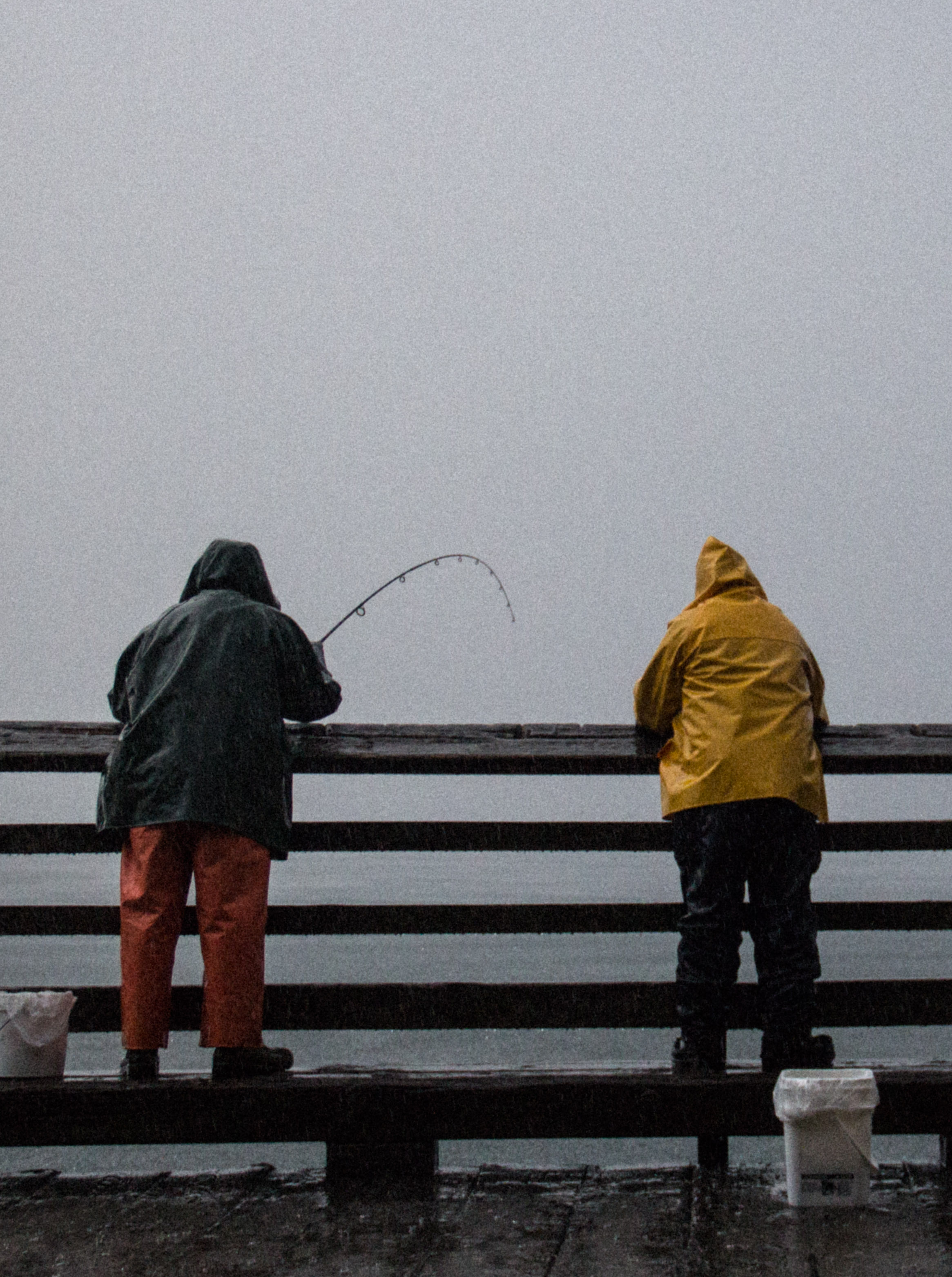
In short, if you go to British Columbia for the outdoors, don’t go to Mount Doug. It is by no means a challenge, or all that exciting. But, if you go to Victoria to check out the city, go to Mount Doug to get a tiny taste of that fresh air that lives above building level. It’s always nice to regain perspective after a solid day of sidewalking.

Happy trails,

Colton Born

Victoria, British Columbia

canada-1-4

Sunset in the marina

canada-1-8

The good ol’ maple leaf

Alright, you got me.

As it turns out, I do occasionally make expeditions into cities; and I usually do so voluntarily. I’d actually say that I quite like cities. In the same way that you can come to understand the environment and geography of a place by getting out into its natural areas, you can come to understand the culture and the people of a place by going into its urban centers. That was what brought me to Victoria.

canada-1-2

Leaving Port Angeles, Washington on the ferry

canada-1

A statue outside of the legislative building

I had just found out that I was going to the Olympic Peninsula to spend Thanksgiving break with my grandfather when an idea crossed my mind: “Hey… that’s right by Canada.” And I was right. In fact, to get to Victoria, British Columbia––the capital of B.C.––you simply need to get to Port Angeles, Washington, which is only 30 minutes from my grandfather’s house. Then, you jump onto the Coho passenger ferry for a 90 minute trip complete with gorgeous scenery. Finally, passport in hand, you’re off on a whirlwind of new adventures that can only be found within the borders of our northern neighbor.

canada-1-3

Another parting shot of the Olympic Mountains

canada-1-10

Sunset on the British Columbia coast

Let me start out by saying that the city is beautiful. On a clear day, you can see the Olympic Mountains across the Straight of Juan de Fuca, as well as some of the interior topography of British Columbia. Within 10 minutes of downtown, you can see the province’s legislative building, walk the coastline, explore the marina, shop in Chinatown, and visit countless coffee shops. And, if you have a little more time for your visit, you could easily take public transportation two hours out of town and get into some serious, world-class outdoors in the Provincial National Parks.

canada-1-11

The legislative building at night

canada-1-9

The Empress Hotel at sunset

For me, this trip was kind of an eye opener. Even though I’ve lived in the northern end of the U.S. all of my life, I had never visited Canada. And even though I knew that Tacoma was merely a few hours away from Canada, I had never really considered Canada as a place that I could explore while in school. Man was I wrong.

canada-1-7

Sunset, the Olympics, and the marina

I would highly recommend making it a point to explore Victoria and the surrounding area at least once while attending Puget Sound. It’ll be a trip you won’t forget, and you’ll finally get to dust off your old passport.

canada-1-6

The Victoria marina

Happy trails,

Colton


Panther Creek Cave

There’s nothing quite as disconcerting as not being able to see. Think about it.

You’re a kid and you’re goofing around with your siblings on the family room floor. Your dauntless six-year-old-self is standing ground like a champ, wailing on the others with pillows that send them to the floor in a flurry of defeat. You’re invincible. Then, out of the corner of your eye, you notice a faint movement. It all happens so fast and there’s nothing you can do about it. Your older, bigger brother sneaks around your blindside and jumps on you from the couch with a big, black comforter in his hands. He knocks you over and covers you with the blanket, wrapping you up tight in it, cementing you to the ground by sitting on you in triumph. You have been bested.

Under the blanket however, things aren’t all fun and games. You open your eyes and the smile disappears from your face. It’s dark, you can’t see, you can’t move your hands, and worst of all, your brother will not get off. You’re terrified. You get hysterical. You start thrashing around like a hooked fish, but to no avail. Eventually after minutes of this, you are forced to give up and accept your fate. You’re going to die down there under the blanket, in the dark, alone, tormented by eternal carpet burn.

Ok, over dramatization, I know. But now maybe you understand my first point.

caving-1-7

Columbia River via Highway 12

Not too long ago, I had the opportunity to go caving with Puget Sound Outdoors on a weekend trip to the Panther Creek Cave. This cave is near the Oregon border, not too far from the Columbia River Gorge, and according to the Internet, it’s the world’s 34th longest lava tube. Pretty legendary, I know. To put it simply; I was stoked.

But nothing could prepare me for the experience of actually being inside the cave. Up until that day, my knowledge of caves was rather scantily-based upon Indiana Jones movies, and let me tell you, those caves are not real. Now, I know that caves are cold, clammy, wet, dark, and often very difficult to traverse, but nevertheless, the whole experience was a blast.

caving-1-4

Walter pondering the perils of the cave

If I were to look back on the trip, I’d be able to point out many moments as favorites, but there’s one that stands out in particular. After being underground for a few hours or so, we’d decided to take a snack break. We had come from a narrower portion into a very spacious, tall chamber that caused even our Pop Tart wrappers to echo off the walls and carry along the tunnel. The 4% of me that wanted to be a geologist was doing backflips in my mind.

caving-1-2

Galen pensively considering the philosophy of lava tubes

The best moment was yet to come, however. Eventually the banter died down and the group became silent. Then, someone spoke up saying, “Let’s turn off our headlamps”, and the group unanimously agreed. The next couple minutes were some of the most interesting minutes I’ve had the pleasure of experiencing. I’ve never not been able to see my hand in front of my face before. The only contact I had with the cave, and with my group, were my feet touching the rocky floor. Truly indescribable, really.

caving-1-5

Cave babes one and all

So, in case you were curious, I would highly, highly, highly recommend checking out a cave. Whether it be through PSO or not, caving makes for some great experiences, stories, and sights… or not.

Happy trails,

Colton Born

360 Trails

I love how this University is tremendously invested into the idea that students should be able to try whatever they want to try while attending UPS. Whether it’s in interdisciplinary courses, study abroad opportunities, or the zillions of clubs on campus, there’s honestly  not many things one can’t get their hands on here. The same goes for outdoors.

I call rural Minnesota home, and due to the lack of geographic and topographic variety that categorizes that part of the country, one could say that options for getting outside are rather limited in comparison to other areas (namely the Pacific Northwest). Back home, I really got my start in spending time ‘up north’ with my dad, fishing and taking time to walk through the woods. Nothing too extravagant. Later in life, I was introduced to the concept of backpacking and my world forever changed. Over the next few years, I hiked about 550 miles along the North Shore of Lake Superior as well as other parts of the country. I can now say firmly that backpacking is my favorite thing in this world to do.

Besides homework, obviously.

But then I showed up here and realized that backpacking is only a drop in the bucket in terms of outdoor opportunities in the PNW. Since starting here, I’ve met climbers, bikers, kayakers, canoers, fly-fishermen, spelunkers, canyoneers, snowshoers, and so many other kinds of outdoors-people that it’s a tad bewildering to see how many ways one could spend a Saturday.

The best part about all of this, though, is that because these options exist, and because my school is the way that it is, I can not only learn about all of these different activities, but I can enjoy them all the same.

So when my friend Tyler, an avid mountain biker and erudite mechanic, asked me if he could take me mountain biking some time, let’s just say I was into the idea.

He ended up taking me to 360 Trails in the greater Gig Harbor area, a mere 20 minutes from campus via car. Man, best Wednesday night I’ve had in a long time.

We arrived there after our classes got out on Wednesday (around four), and we got straight to it. Knowing that I had minimal experience, Tyler started us out on a trail that he knew as a ‘beginner trail’… I have never moved so fast on a bicycle in my life. Even though it may have felt at times like my bike was going to disassemble beneath my feet and leave me helplessly hurling over the hills, that never happened, and when that first run was over I just wanted more.

We ended up spending around two hours there. In the process, I may or may not have catapulted myself into a few thorn bushes, disengaged my chain four or five times, and learned that my bike’s brakes don’t really work. However, this new experience in the outdoors will stick with me as one of the most fun times I’ve ever had. So, in short, whether you’re a beginner and prone to falling into thorn bushes, or you’re an expert  who can take beginners along primarily for your own amusement, 360 Trails is a great, close-to-campus option for all of you interested in saddling up any day of the week.

Furthermore, wherever you are in life, I would also highly recommend trying something new, preferably something scary, every once in a while if only to keep the blood pumping. Who knows? Maybe it’ll end up being something you love so much that you’ll share your passion with others and get them hooked, all the same.

As always, happy trails,

Colton Born

selfie 1

PS: style is one of the keys to a rad outdoor endeavor; never forsake the swag.

West Boundary Trail

You know what, I love nice people, and there are A LOT of nice people here. All of you first-year students (of which I am one) know what I mean. If I had a dollar for every time I heard, before even choosing the University, that the campus community was amazing, I would have a lot of dollars, or just fewer loans.

WBT (1 of 1)-3

On the trail

Anyway, what may have seemed slightly overdone or romanticized to me before arrival, has only proven to be true time and time again. Whether it’s study buddies, or lunch buddies, or soccer buddies, or high-five-you-before-class buddies, I’m pretty sure I have more buddies here than I’ve ever had anywhere in my whole life. So, it wasn’t much of a surprise when a residence buddy of mine walked up to me in the SUB and spoke some of the sweetest words to ever grace my ears: “Hey man, want to go on a hike today with some friends? I’ll drive.”

Uh, duh?

WBT (1 of 1)-6

A little fall in the evergreens

In ten minutes I had ran home, thrown a bunch of hiking-related stuff into a backpack, filled up a water bottle, donned a hiking hat, and I was ready to go. We stopped off at Safeway in town to snag some lunch (Pop Tarts) and after having an interesting altercation with a self-service checkout that must’ve been lonely—it didn’t want us to leave—we were on the highway.

After being on the road for around a half an hour or so, I realized I had forgotten to ask, “Guys, where are we going?”

“Mt. Rainier, man!”

I fist-bumped myself.

It turned out Mt. Rainier just meant the National Park, and it was very cloudy, so we couldn’t see the mountain in the first place. But I didn’t care, I was going on a hike and I was happy. Very happy.

We eventually drove through Wilkeson, then Coronado, then crossed the breathtaking Fairfax Bridge where I had my first-ever conversation with an Alabaman, then passed the closed-for-the-season Carbon River Ranger Station, and finally pulled into our destination—a very small, mossy parking lot on the edge of the park.

The Fairfax Bridge

The Fairfax Bridge

We jumped out, stretched out, and headed out with no real clue as to where. There was a small sign marking a trailhead not far off from the lot that advertised a “0.3 mile forest loop”.

“How nice?” I thought. “0.3 miles? Sounds like a dream.”

We decided it seemed promising enough and we set off. The trail was nice, flat, and complete with informational signs about the flora and fauna of the area, essentially a walk in the park. At around the 0.25 mile mark, however, things changed. To our left, we noticed a small paper sign in a plastic folder that read:

West Boundary Trail

Waterfalls: 1.5 miles

Ridge: 3 miles

Waterfalls? Heck yes. We exchanged glances and up we went. And up and up and up… I don’t think we ever stopped going up. I actually don’t think I’ve ever experienced that many switchbacks before in my life. It was nuts.

WBT (1 of 1)-2

Waterfall from the bottom

WBT (1 of 1)

Waterfall from the top

After an hour or so, we came across the ‘waterfalls’ denoted by the sign. They were beautiful, to say the least, and the scenery provided an excellent locale for a Pop Tart break. We pushed on and eventually were greeted by a magnificent blanket of fog. It blocked the trees above us, inhibiting our ability to gauge our current altitude as well as guess how much more climbing we were going to need to do before we reached the fabled ridge that we were starting to doubt actually existed. Nevertheless, there was nothing quite like being surrounded by fog in the deep green woods, the chilled air stinging your nose and settling silently on your skin; it was wonderful.

WBT (1 of 1)-7

Fog lit up by the intermittent sun above the trees

Regardless of the beauty however, it was getting late, and we needed to head home, so we decided to turn around. What took us multiple hours to climb took around 30 minutes to descend. The fog disappeared, everything started to seem familiar, we passed the waterfall, and before we knew it we were back to the lot and our short-lived adventure was complete.

WBT (1 of 1)-4

A look into the low-altitude forest

Later that night, I was unloading my backpack and noticed a brochure/map type document that I had taken off of a message board at the lot that talked about all of the trails in that area of the National Park. The document listed all of the trails in order from easiest to most demanding, and sure enough, at the top, was the West Boundary Trail. I wasn’t surprised.

Nevertheless, the trail was beautiful, fun, and perfect for a day hike. More importantly however, it was the perfect trail to enjoy with some buddies.

WBT (1 of 1)-5

The forest loop trail

Happy trails,

Colton Born

Point Defiance Park

I feel like, at times, people can easily get caught up in the blatant grandeur of the words ‘adventure’, ‘journey’, or ‘expedition’. Don’t get me wrong, these words are fantastic and I’m inspired by them just as much as the next person. But often, when we consider the weight of these words and allow them to govern our dreams and aspirations, in comparison to our actual lives, we can quickly become powerfully discouraged. It’s as if, in one moment, those words are lifting us up, challenging us to pursue the unknown, but in the next, we feel guilty for not doing so nearly as often as we want to. We’re left, rather stuck, in a difficult limbo between our goals and our realities.

pd1 (2 of 10)

The obligatory photographer foot shot; post-bike-ride and pre-hike.

For the longest time I was plagued by this condition, until I realized something that’s shaped the way I think about those aforementioned words. It goes like this: even though those terms do have dictionary definitions, that doesn’t have to be how you choose to define them. Let me give you an example of what I mean.

pd1 (1 of 10)

A beautiful example of the Northwestern rainforest climate; a tree completely engulfed in undisturbed and lavish green moss.

pd1 (3 of 10)

The famous ‘Five Mile Drive’ that provides drivers, bikers, and hikers access to Owen Beach, Fort Nisqually, and the rest of Point Defiance Park.

Tacoma’s surrounding locales are legitimately insane. On the west side you have the Pacific Ocean and the Olympics; on the north you have British Columbia; on the east you have Rainier, Baker, and the Cascades; and on the south you have Hood. Honestly, even thinking about it makes me feel like I’ve died and gone to heaven. So, when I get the itch to venture outside, that’s often where my mind goes. However, that poses a problem because it’s a little harder to get to Rainier or the ocean than one might expect; all you Tacoma natives know this.

pd1 (4 of 10)

A staircase at Owen Beach.

So, a guy like me has got to get his fix somehow, right? That’s where Point Defiance Park comes in. At a modest five miles from campus, Point Defiance Park is easily accessible by bike, bus, or, if you’re really in dire straights, you could get on some hiking boots and walk it out. Point Defiance, or as most call it ‘Point D.’, is actually a city park, but it comes off as a state park when all of its amenities are taken into consideration. Not only does it provide beautiful vistas as well as exhibit some of the native flora and fauna, but it also has hiking trails, a beach, a marina, a ferry dock, a zoo and aquarium, a preserved fur trading post called ‘Fort Nisqually’, a pagoda, a zen garden, boat rentals, a restaurant… the list goes on. In all, Point Defiance has consistently allowed me to enjoy the Pacific Northwest outdoors in very attainable and practical ways.

pd1 (5 of 10)

A large freighter floats through the Sound, into a wall of rain, en route to the Tacoma docks.

All of this being said, Point Defiance is definitely not Rainier, nor Hood, nor the Pacific Ocean, but it does provide me with enough adventure for a weeknight and it has helped me to realize that there’s not only beauty in the big, bountiful, and boisterous, but also in the small, nuanced, and quiet. Point D. has helped me come to know that it’s not the destination that defines an adventure, but rather the adventurer. Being able to find glory in the minutiae is, in my mind, a key characteristic of a great outdoorsman or woman.

pd1 (7 of 10)

The inside of a small garage in the marina that I occupied for some much needed rain coverage.

pd1 (9 of 10)

A small boat moored in the marina.

pd1 (10 of 10)

A receding cloud line played backdrop to a group of gulls circling the marina.

Keep this in mind when you are feeling a little down about not climbing Rainier over fall break or kayaking to Portland for spring break, and consider checking out Point Defiance, or even Todd Field. Like I said, you define your adventure.

pd1 (6 of 10)

The color-changing coastline amidst heavy rainfall.

pd1 (8 of 10)

Two fisherman defy the tempest in order to procure baitfish off the dock.

Happy trails,

Colton Born

John Wayne Pioneer Trail

Back in the day, my family and I lived in a small, cute suburban home on the outskirts of the Twin Cities area in Minnesota. The neighborhood was nice and safe and we loved to get out and bike around. My brothers and I each had those little Wal-Mart ‘BMX’ fixed gear bikes and we’d often set up piles of dusty garage wares and practice our bunny-hops or see who could get down the alley the fastest. At one point, we even tried the infamous bike swap, which wound up with us all laying in a bleeding, scraped, groaning heap in the middle of the alley, complete with handlebar bruises and torn up jeans. Ah, the good ol’ days.

BIKE TRIP 1 (1 of 1)

In the morning, low clouds rolled in on our path, making for damp trails and some mysterious looking power posts.

Now, whenever I’m on my bike, the feelings of those days return to me in my mind and in my heart. Biking is still just as fun now as it was then, except now I can go faster… a lot faster. Most of my new homies around campus like biking as well, so naturally, when PSO announced that they were taking a bike day-trip out into the Snoqualmie area on the John Wayne Pioneer Trail, I grabbed my pal Tyler and we signed up ASAP.

At the turn-around point of our journey, we caught a few glimpses of groups of climbers ascending a couple faces right off of the bike path.

At the turn-around point of our journey, we caught glimpses of a group of climbers ascending a face right off of the bike path.

The section of the John Wayne Trail that we traversed was around 10 miles (we rode the route out and back for a total of around 20 miles) beginning at the Hyak Trailhead. It included many sweeping mountain views, ample fresh air, multiple railroad trellises, and, oh yeah, a two-mile long, unlit, stone tunnel that literally goes through a mountain. Let me just say, it was cold in there. The trailhead was around an hour and fifteen minutes from campus and was nearly empty when we showed up there on that beautiful Saturday morning.

BIKE TRIP 6 (1 of 1)

The foreboding entrance of the Snoqualmie Tunnel just up trail from the Hyak trailhead.

BIKE TRIP 3 (1 of 1)

The eastern end of the tunnel, complete with a massive, wooden header.

The John Wayne Trail is interesting in and of itself because its surface is a graveled over, two lane path that rests upon what used to be an old railroad grade for the Chicago, Milwaukee, St. Paul & Pacific Railroad until it was converted around the year 1980. Its total length is around 300 miles and it claims to be one of the longest rail-to-trail bike paths in the country.

BIKE TRIP 5 (1 of 1)

Brock, a fellow Minnesotan, slaying the stone like it’s his day job.

With all of that being said, I would highly recommend the John Wayne for either a day-trip or an extended camping endeavor. Due to the fact that it used to be a railroad grade, the topography changes overall are extremely gradual, in fact, the trail oftentimes feels essentially flat. Remember that if you’re going to leave a car parked at the trailhead you need some sort of paid pass that will ensure you don’t turn a free trip into an expensive one due to the ever-so-unfortunate parking ticket.

BIKE TRIP 4 (1 of 1)

The most natural group photo I’ve ever taken.

So, until next time, make some time to get out and enjoy the glorious fall weather!

& Happy trails,

Colton Born