
You know what, I love nice people, and there are A LOT of nice people here. All of you first-year students (of which I am one) know what I mean. If I had a dollar for every time I heard, before even choosing the University, that the campus community was amazing, I would have a lot of dollars, or just fewer loans.
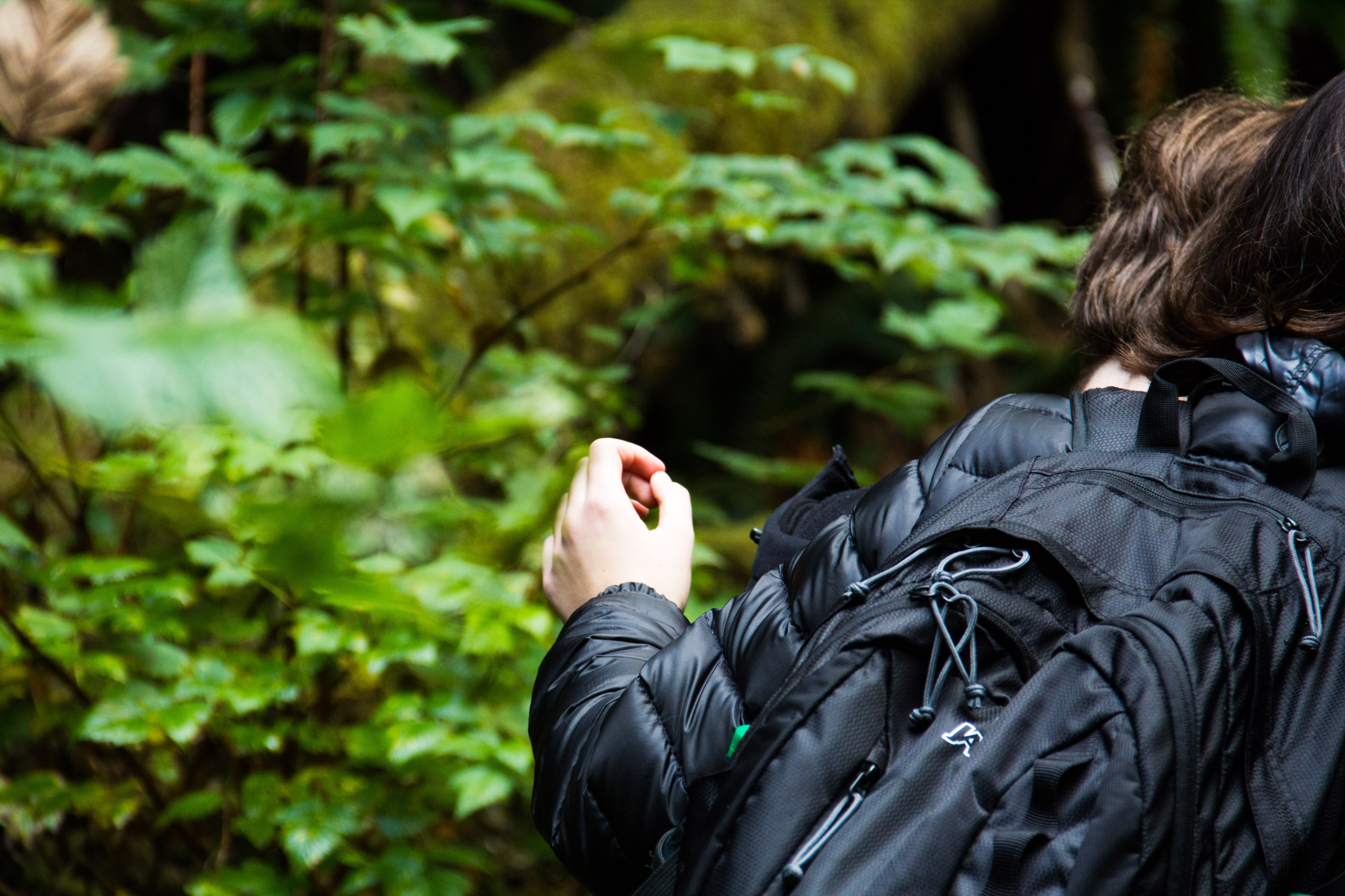
On the trail
Anyway, what may have seemed slightly overdone or romanticized to me before arrival, has only proven to be true time and time again. Whether it’s study buddies, or lunch buddies, or soccer buddies, or high-five-you-before-class buddies, I’m pretty sure I have more buddies here than I’ve ever had anywhere in my whole life. So, it wasn’t much of a surprise when a residence buddy of mine walked up to me in the SUB and spoke some of the sweetest words to ever grace my ears: “Hey man, want to go on a hike today with some friends? I’ll drive.”
Uh, duh?
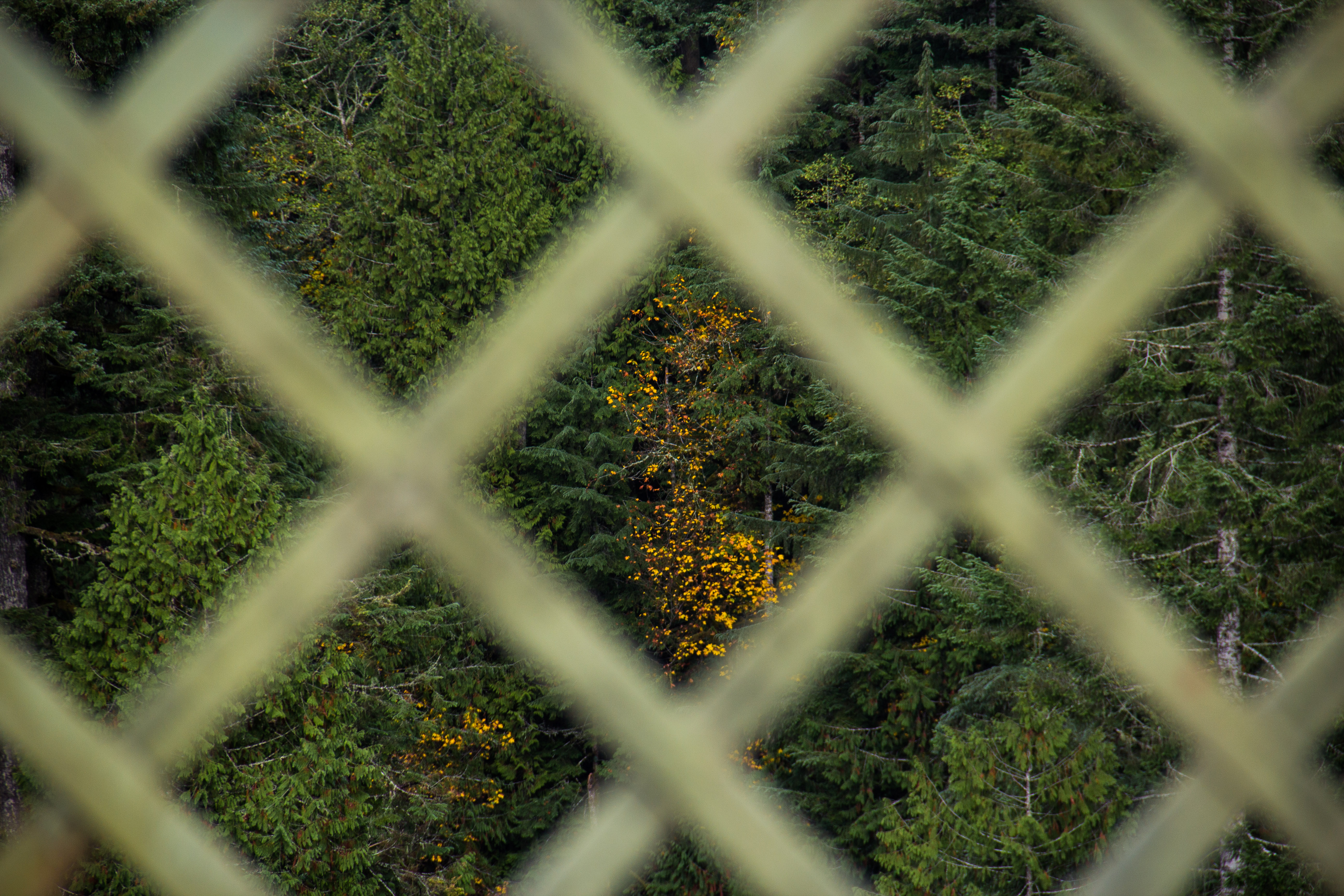
A little fall in the evergreens
In ten minutes I had ran home, thrown a bunch of hiking-related stuff into a backpack, filled up a water bottle, donned a hiking hat, and I was ready to go. We stopped off at Safeway in town to snag some lunch (Pop Tarts) and after having an interesting altercation with a self-service checkout that must’ve been lonely—it didn’t want us to leave—we were on the highway.
After being on the road for around a half an hour or so, I realized I had forgotten to ask, “Guys, where are we going?”
“Mt. Rainier, man!”
I fist-bumped myself.
It turned out Mt. Rainier just meant the National Park, and it was very cloudy, so we couldn’t see the mountain in the first place. But I didn’t care, I was going on a hike and I was happy. Very happy.
We eventually drove through Wilkeson, then Coronado, then crossed the breathtaking Fairfax Bridge where I had my first-ever conversation with an Alabaman, then passed the closed-for-the-season Carbon River Ranger Station, and finally pulled into our destination—a very small, mossy parking lot on the edge of the park.
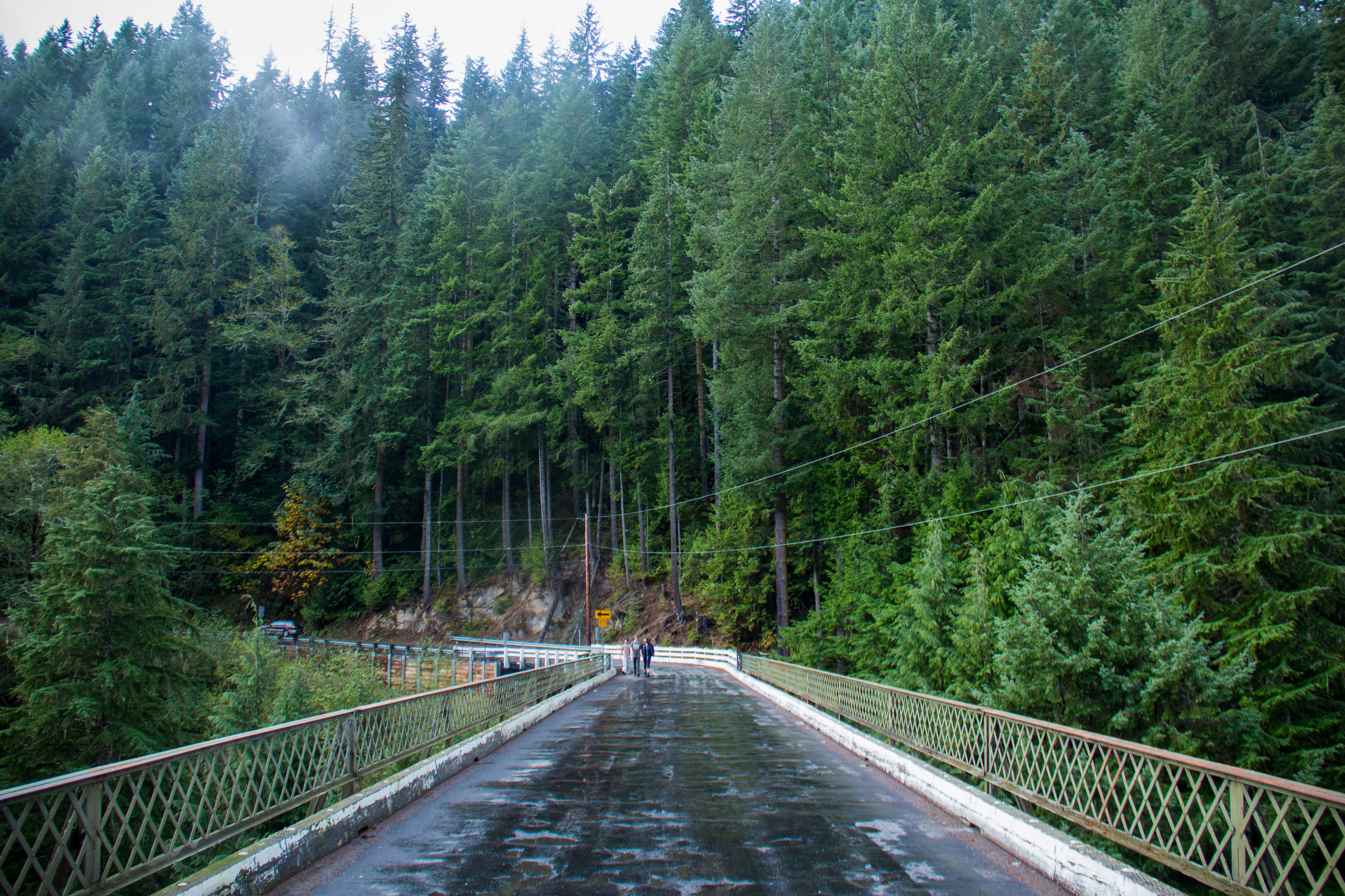
The Fairfax Bridge
We jumped out, stretched out, and headed out with no real clue as to where. There was a small sign marking a trailhead not far off from the lot that advertised a “0.3 mile forest loop”.
“How nice?” I thought. “0.3 miles? Sounds like a dream.”
We decided it seemed promising enough and we set off. The trail was nice, flat, and complete with informational signs about the flora and fauna of the area, essentially a walk in the park. At around the 0.25 mile mark, however, things changed. To our left, we noticed a small paper sign in a plastic folder that read:
West Boundary Trail
Waterfalls: 1.5 miles
Ridge: 3 miles
Waterfalls? Heck yes. We exchanged glances and up we went. And up and up and up… I don’t think we ever stopped going up. I actually don’t think I’ve ever experienced that many switchbacks before in my life. It was nuts.
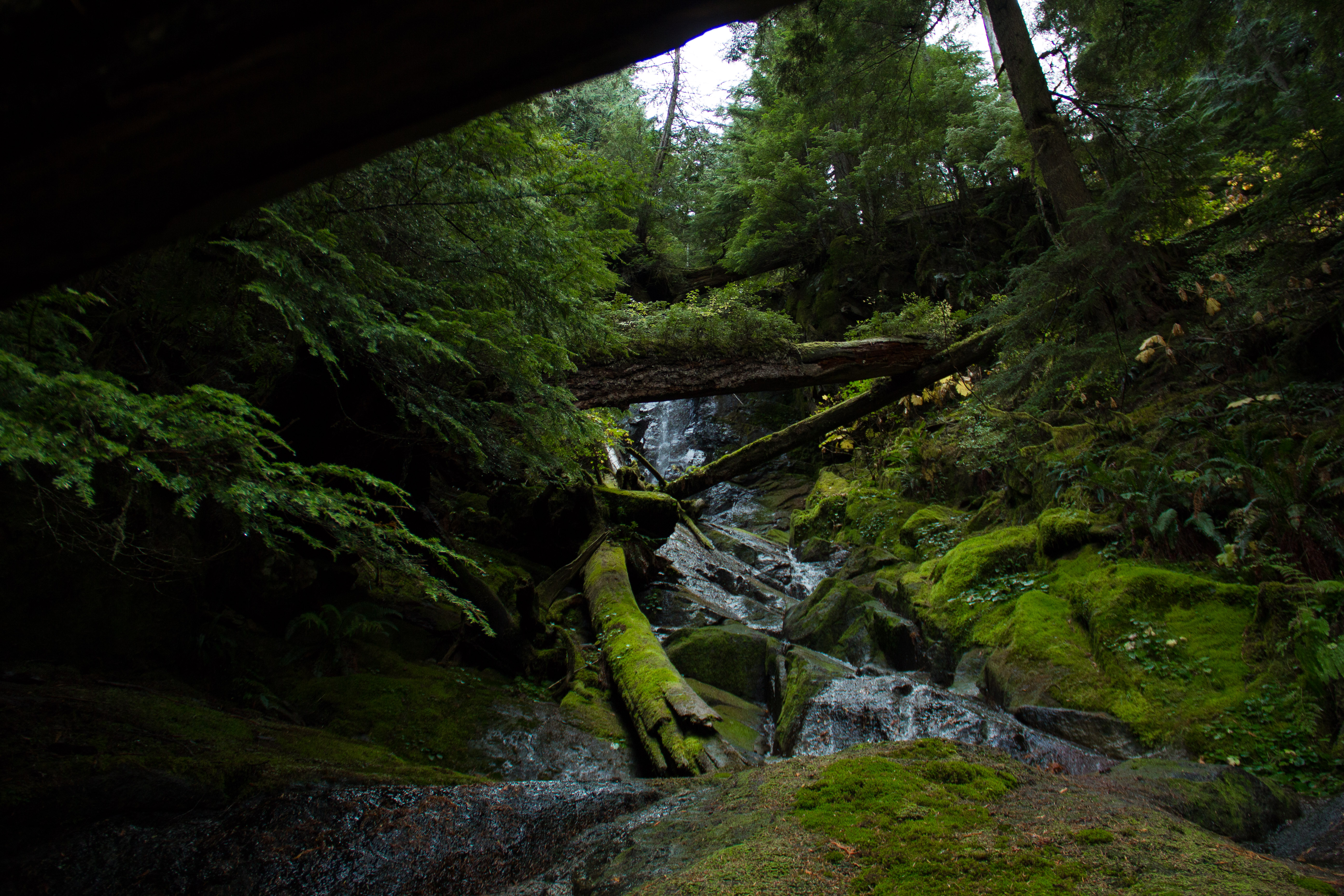
Waterfall from the bottom
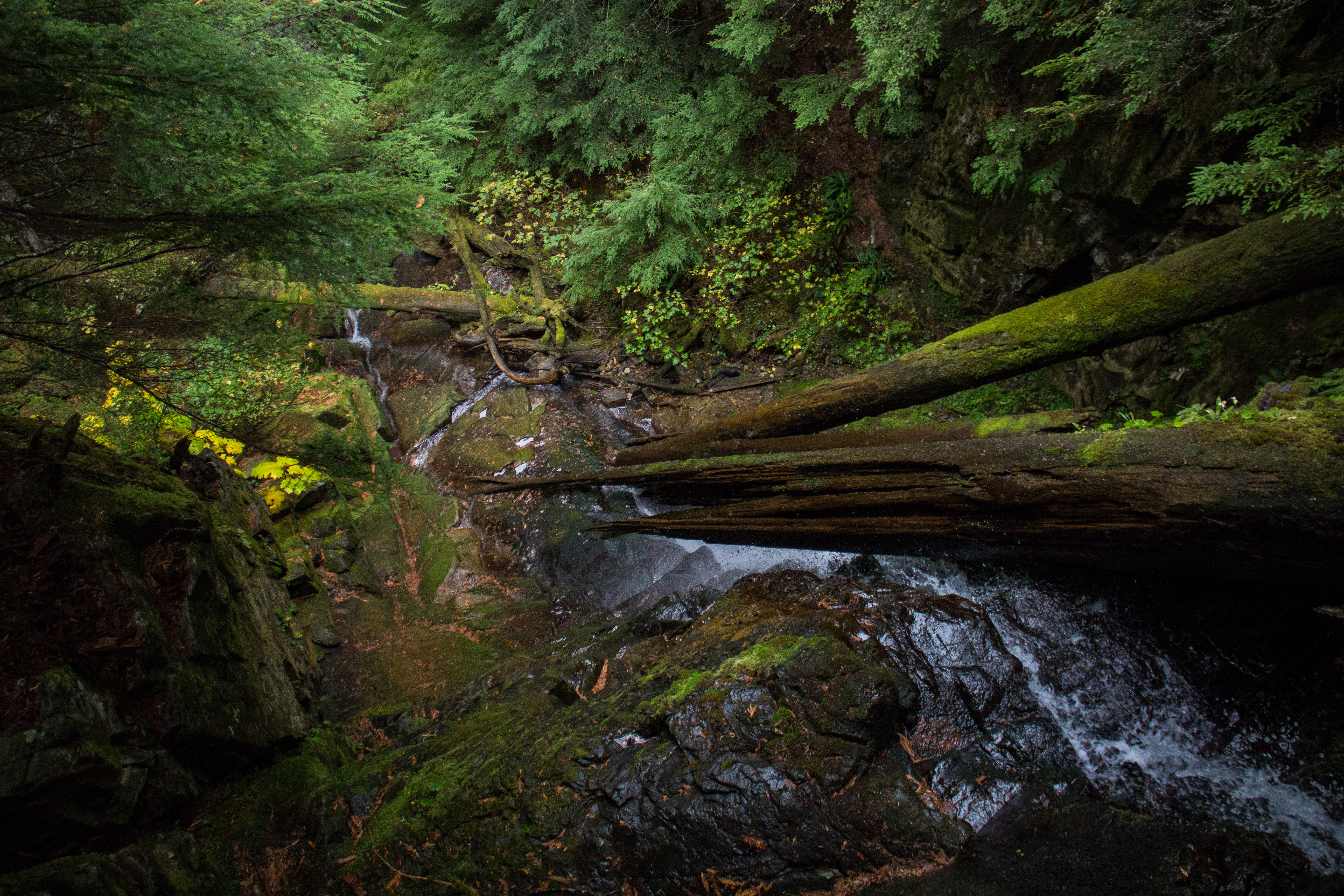
Waterfall from the top
After an hour or so, we came across the ‘waterfalls’ denoted by the sign. They were beautiful, to say the least, and the scenery provided an excellent locale for a Pop Tart break. We pushed on and eventually were greeted by a magnificent blanket of fog. It blocked the trees above us, inhibiting our ability to gauge our current altitude as well as guess how much more climbing we were going to need to do before we reached the fabled ridge that we were starting to doubt actually existed. Nevertheless, there was nothing quite like being surrounded by fog in the deep green woods, the chilled air stinging your nose and settling silently on your skin; it was wonderful.
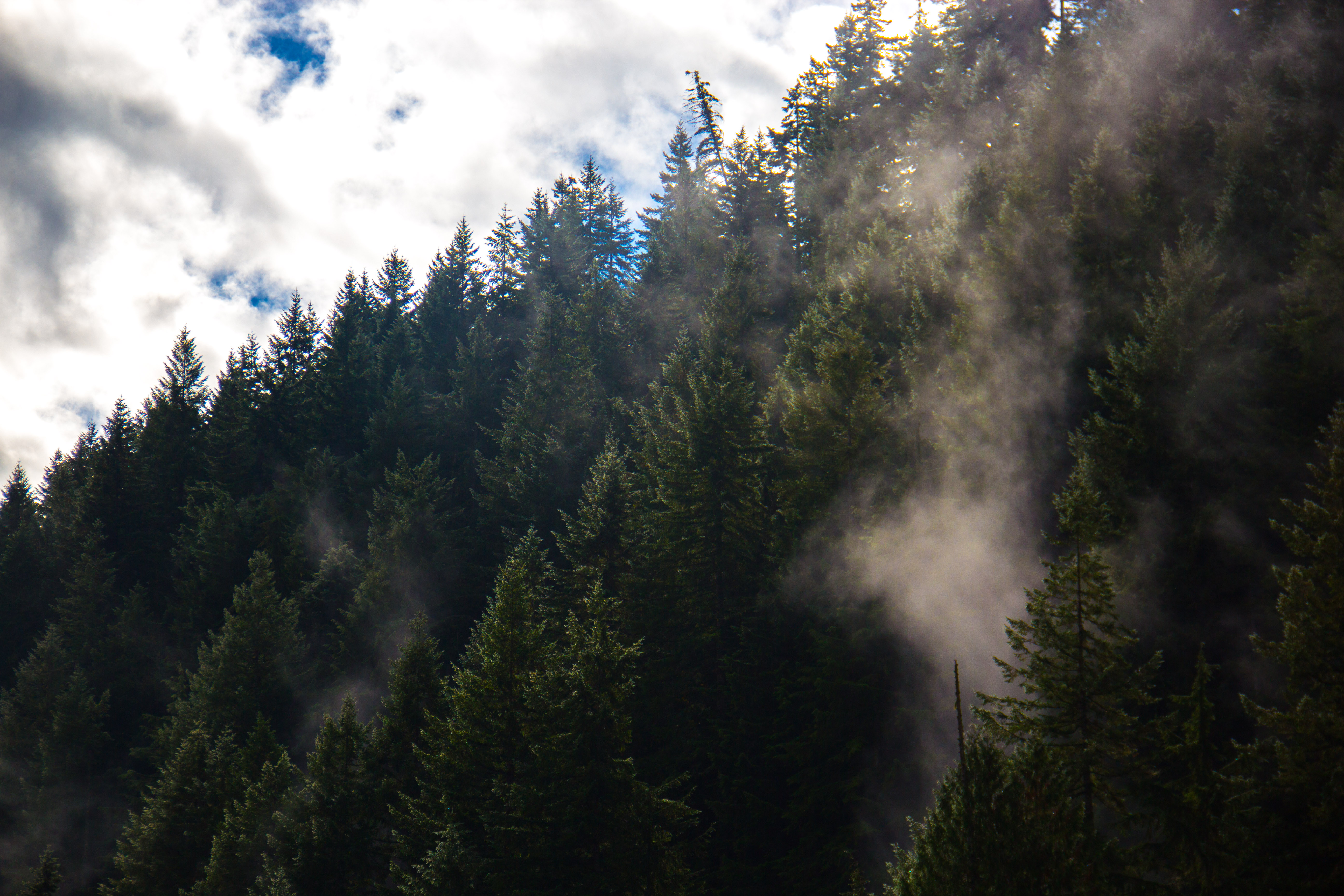
Fog lit up by the intermittent sun above the trees
Regardless of the beauty however, it was getting late, and we needed to head home, so we decided to turn around. What took us multiple hours to climb took around 30 minutes to descend. The fog disappeared, everything started to seem familiar, we passed the waterfall, and before we knew it we were back to the lot and our short-lived adventure was complete.
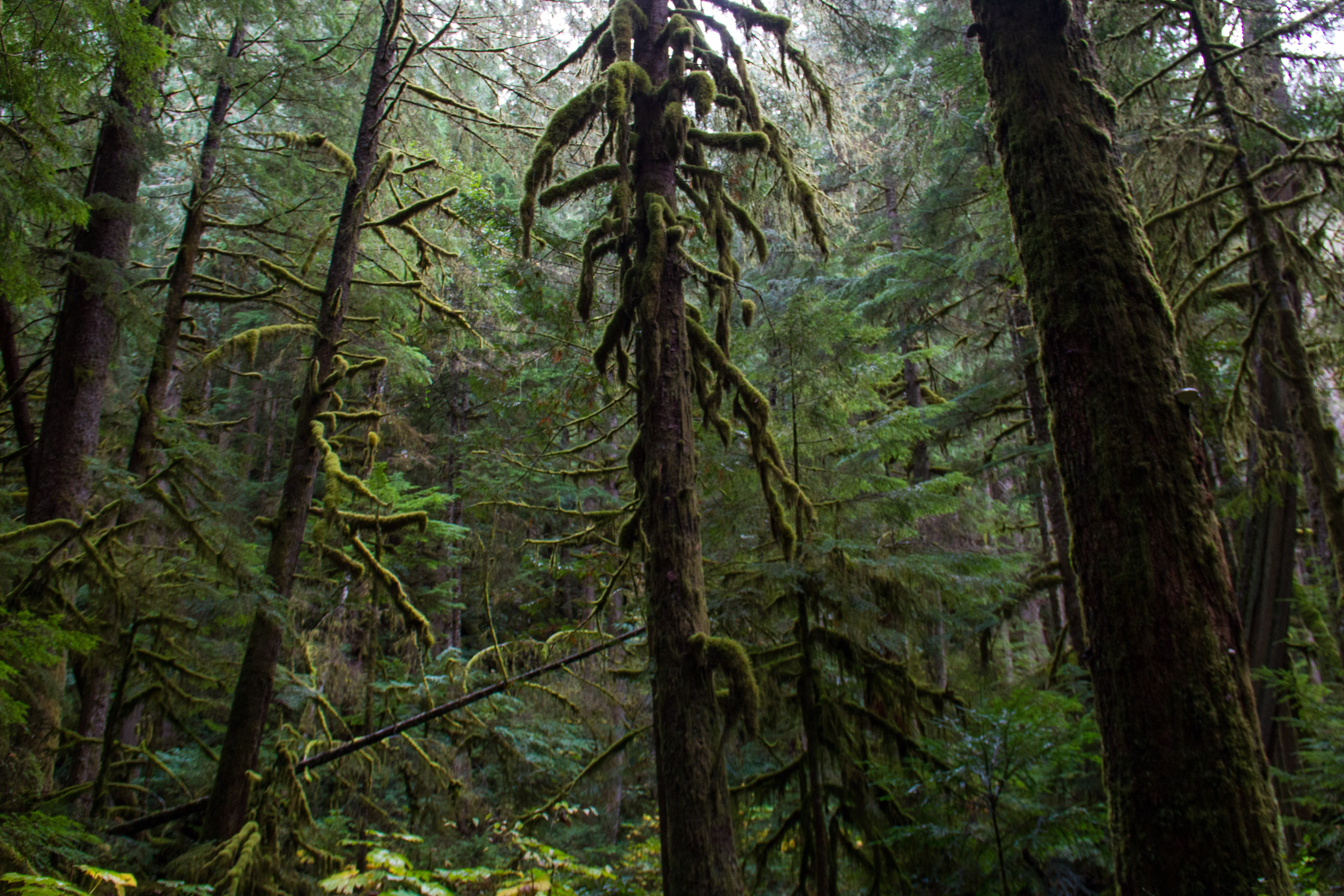
A look into the low-altitude forest
Later that night, I was unloading my backpack and noticed a brochure/map type document that I had taken off of a message board at the lot that talked about all of the trails in that area of the National Park. The document listed all of the trails in order from easiest to most demanding, and sure enough, at the top, was the West Boundary Trail. I wasn’t surprised.
Nevertheless, the trail was beautiful, fun, and perfect for a day hike. More importantly however, it was the perfect trail to enjoy with some buddies.
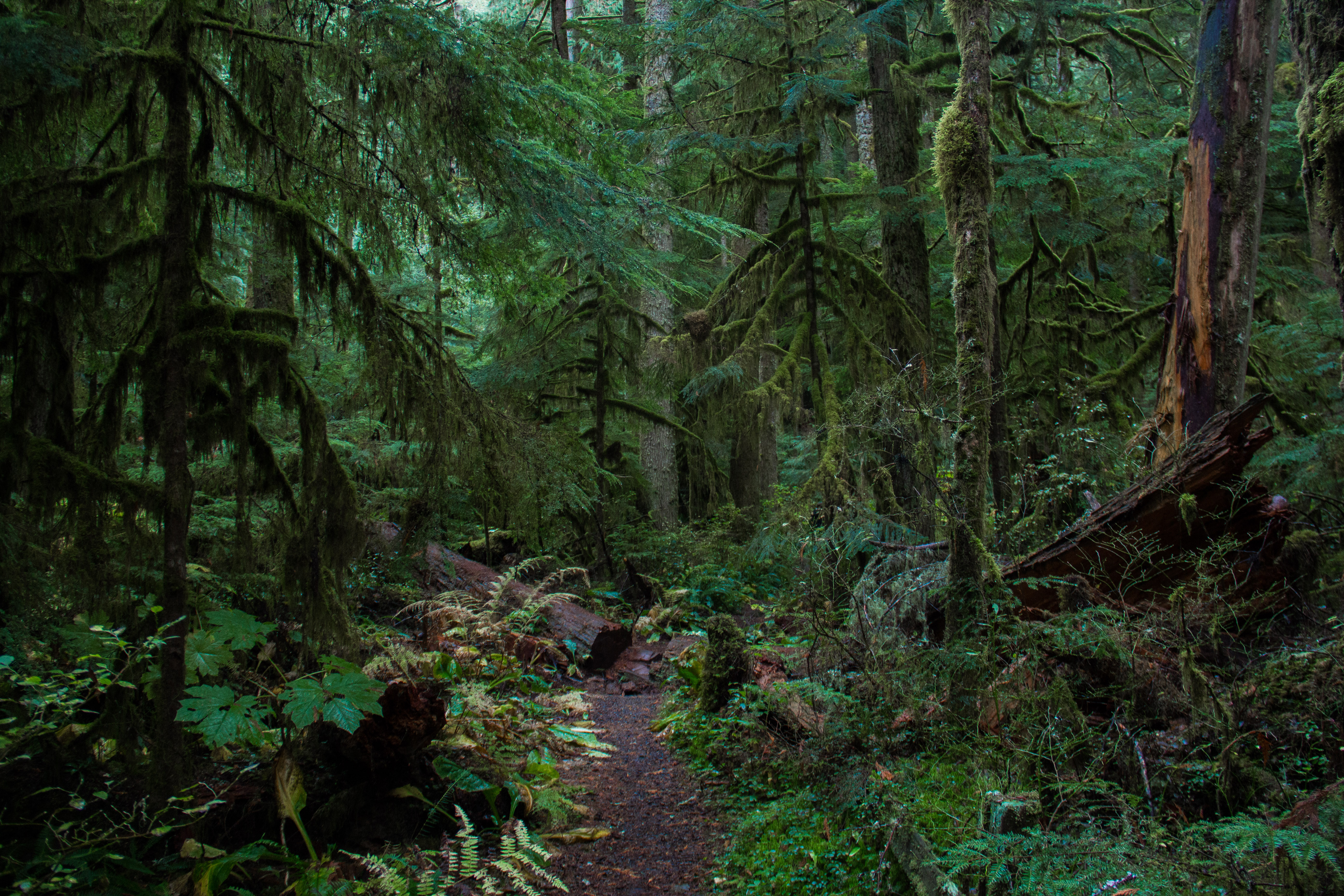
The forest loop trail
Happy trails,
Colton Born